In late February, I had a really good weekend of skiing, when I headed up the Squamish River valley to ski Tricouni and Cypress Peak, followed by the Spearhead Traverse on the following day. Unlike the Sunday, it was bluebird conditions as Sarah Justin and I climbed and skied these two summits on the Squamish-Cheakamus divide. This area normally gets a massive winter snowpack, heavier snowfalls than the nearby Whistler area. But looking at the snow pillow up in the Squamish River, you can see that the snow pack was near minimal levels, and would later set the new minimal from April onwards.
This meant we could drive up to the end of the road. The BR200 road, High Falls Creek branch, climbs steeply up from the valley bottom, smooth and snow free all the way to the junction with BR250. Normally in the winter, you can’t drive this high, and even in the spring you’ll be stopped somewhere here. But this February, we could drive almost to the end of BR250, which has numerous water bars requiring a high clearance four wheel drive vehicle.
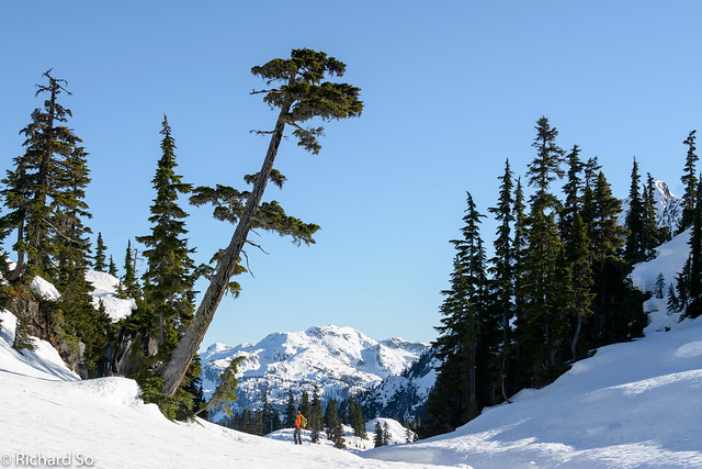
The snow conditions on the lower section were so dismal that no other snowmobilers were out here today. We followed the lumpy snowmobile trail through the forest, side hilling up and down to the north fork of High Falls Creek. The summer trail stays on the east side of the creek, climbing the forest through the trees. But snow conditions, patchy and partly frozen, were less desirable than the open snow-covered talus slopes on the west side. So we crossed the creek, and skinned up the west side to reach the First Lake, with a good view of Tricouni Peak.
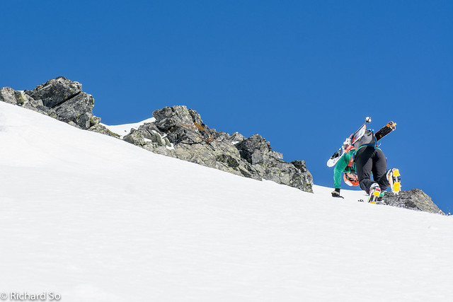
We crossed the frozen lake, and skied into the shady west facing slopes towards the lake at 1550m, below Tricouni. In the shade, on the steeper slopes, the frozen snow was treacherous for skinning, and I switched to bootpacking for some of it. From the upper lake, we contoured along a bench to the far right side of the west face. With the steep firm snow above, we switched to crampons and bootpacked up to the south ridge, with a final short scramble, mostly snow covered to the summit.
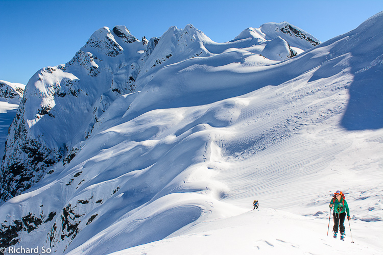
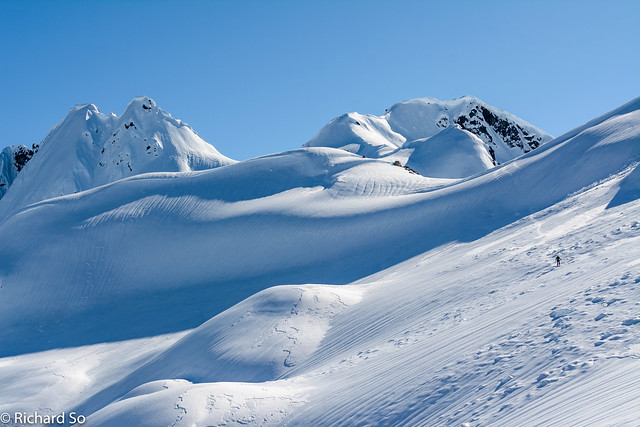
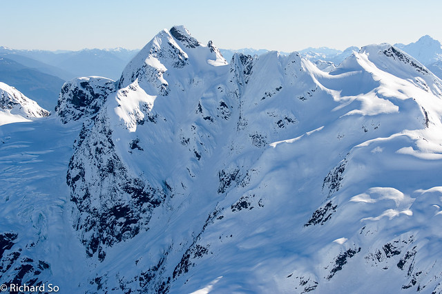
From the summit, we skied down the still icy west face, northwards to the col northwest of the summit. We bootpacked up, with supportive snow for walking and too short of a skin to bother with the transition. From the col, we continued northwards, passing to the east of Seagram Peak. The highlight here is the view as you cross the glaciated bench. Behind you, is the impressive north face of Tricouni Peak, with steep couloirs, corniced ridges and fluted lines.
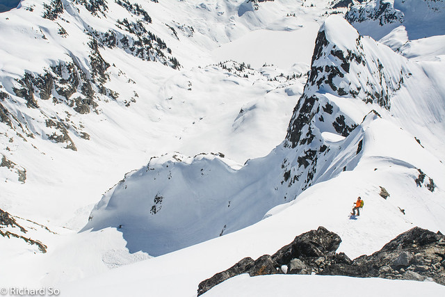
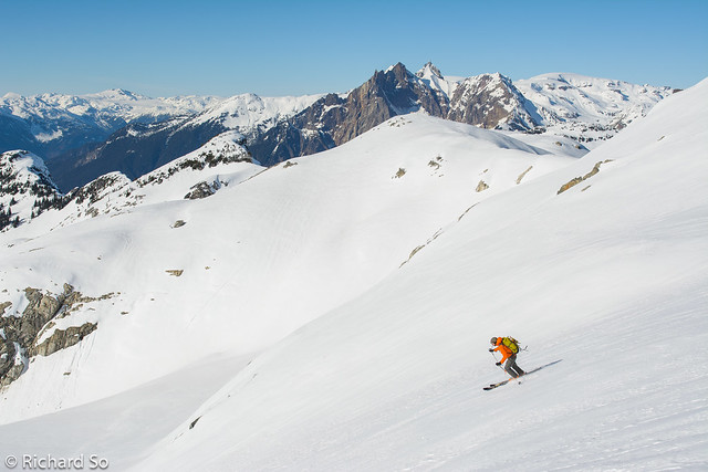
A short climb up brought us back onto the gentler west side of Cypress Peak. I switched back to crampons for the final climb up to Cypress Peak. It was a little bit icy at the top, and there wasn’t a lot of room for a transition back to skis. I clicked into my bindings and carefully skied partially down the north ridge and back onto the west face. By now, the snow had softened up nicely and we had some great corn skiing down the west side on the glacier.
We skied to the toe of the glacier, and then worked our way through the gentle sub-alpine terrain here, a collection of meadows and frozen alpine lakes. I could imagine this area being heavily tracked by sledders in a normal winter. The only mechanized disturbance today was a the sound of a helicopter flying overhead, landing somewhere above the lakes with some snow-seeking tourists. At least I hope they weren’t paying to go heli-skiing up there today in the icy snow conditions.
After some meandering terrain, we were back down at First Lake. The skis came off shortly after crossing back to the east side of the north fork of High Falls Creek. In the undulating frozen snowmobile track, it was just easier to walk along it, back to the logging road. With the high drivable road, this was a short ski day, only 7.5 hours car to car. This loop covers some interesting terrain, and two fine summits too!
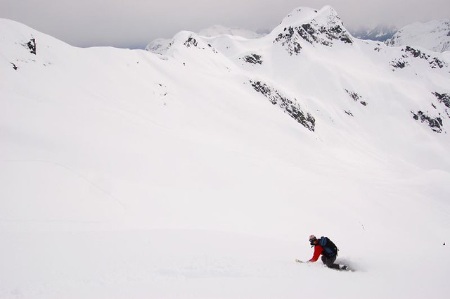
April 22, 2007. Powder day on Tricouni Peak with Scott Nelson. It was quite different this time around.
 |
| Winter of 2014/2015 is the dark blue line at the bottom |
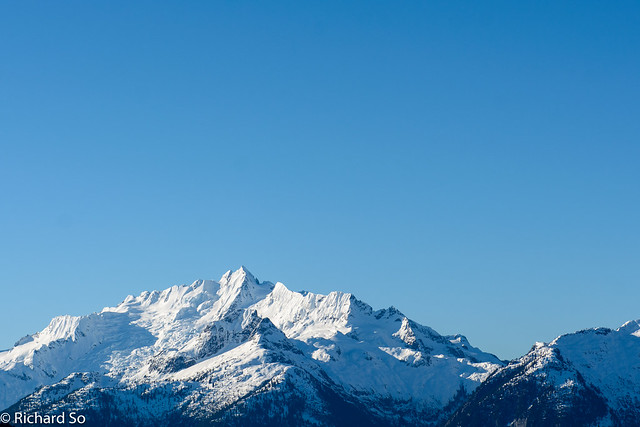
Wintery Tantalus across the Squamish River valley. The Br200 High Falls Creek branch climbs high with scenic views
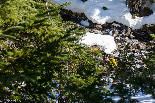
Low snow year bushwhacking along the edge of the north fork of High Falls Creek (Belia Creek)
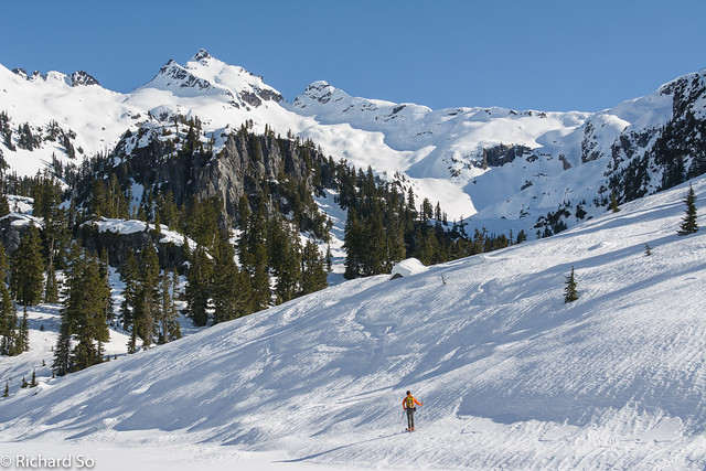
Frozen slopes on the edge of First Lake, with Tricouni Peak above.

Tricouni Peak. The easiest route is up the centre slope below the summit, but we took the right snow gully.
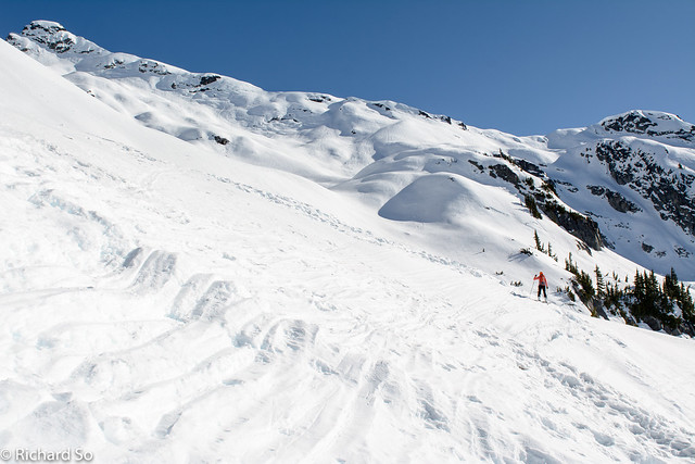
Sarah crossing some frozen snowmobile tracks.

Skinning up the icy west slopes of Tricouni Peak
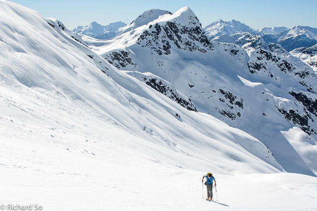
Justin skinning up Tricouni Peak
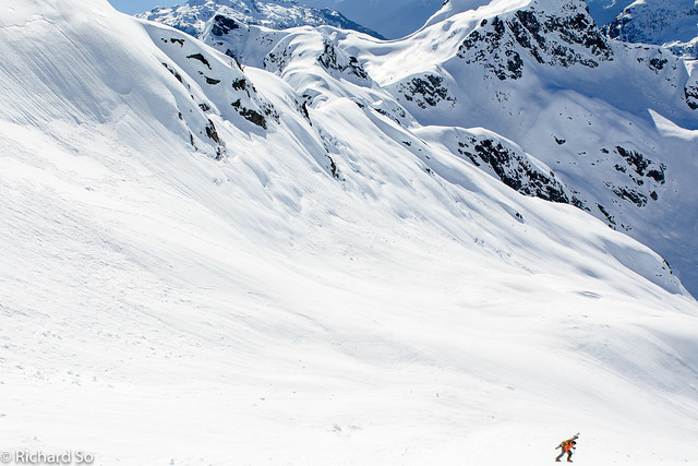
On the icy snow, bootpacking was both safer and faster
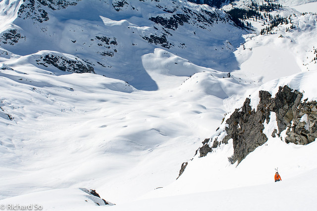
Justin climbing up Tricouni Peak

A view of Tricouni Meadows below
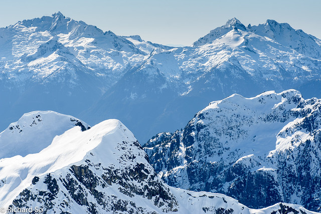
Tantalus, Pelion and Ossa Mountain

On the south ridge of Tricouni Peak


An alpine unicorn spotted on the south ridge of Tricouni Peak
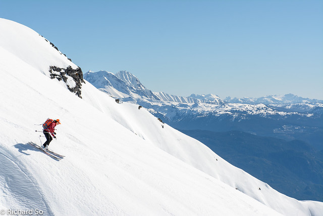
The snow didn’t soften up on the west aspect, so it was an icy descent
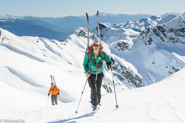
Bootpacking up to the col north of Tricouni Peak
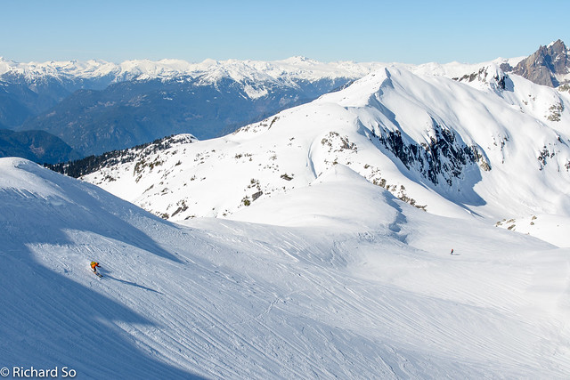
Justin skiing down to the glaciated bench east of Seagram Peak, between Tricouni and Cypress Peak
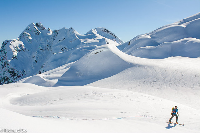
Justin with a view of the north face of Tricouni Peak
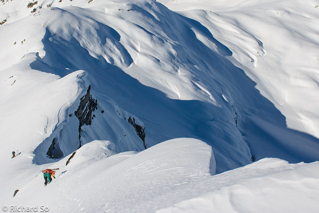
Sarah climbing up the corniced ridge to the tippy top of Cypress Peak
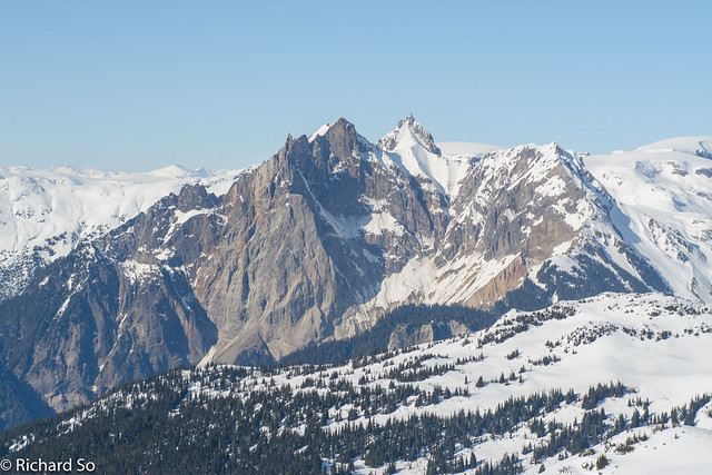
Pyroclastic Peak and Mount Cayley
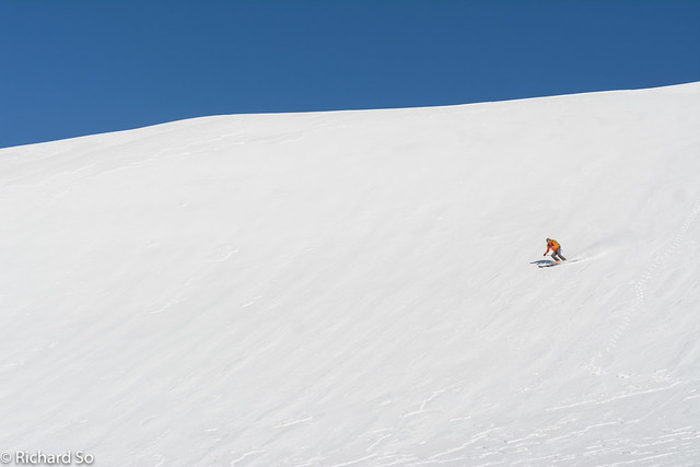
Corn time on the west slopes of Cypress Peak
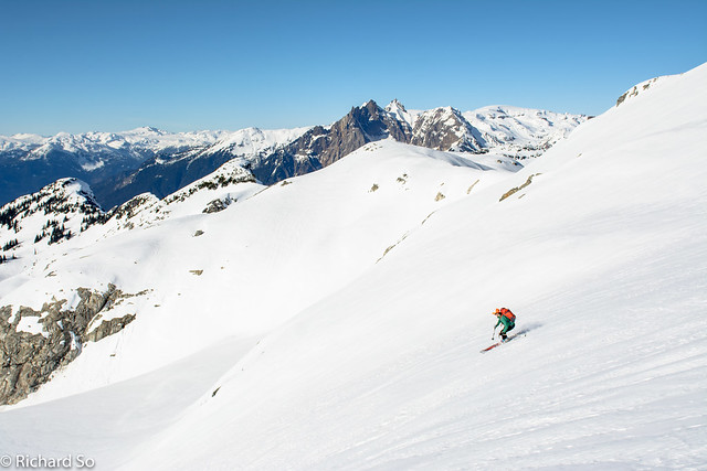
Fun skiing on the west side glacier
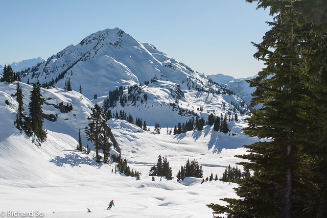
Skiing down towards Seagram Lake
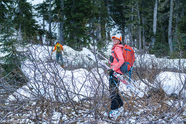
Low snow levels around High Falls Creek. Seems to deter most people, skiers and snowmobilers.

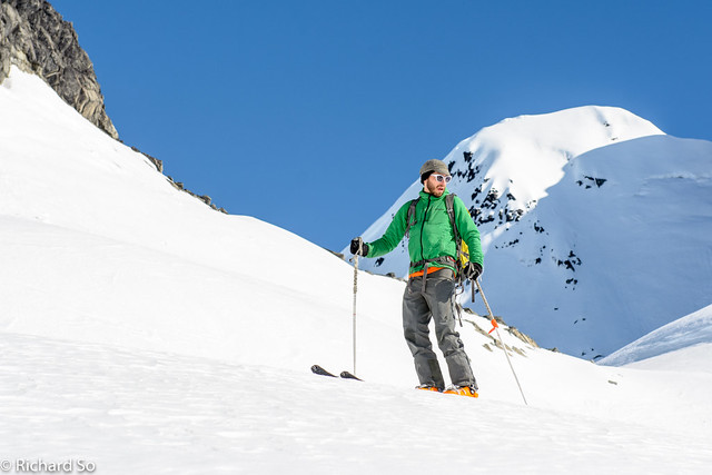
Justin
More Photos
