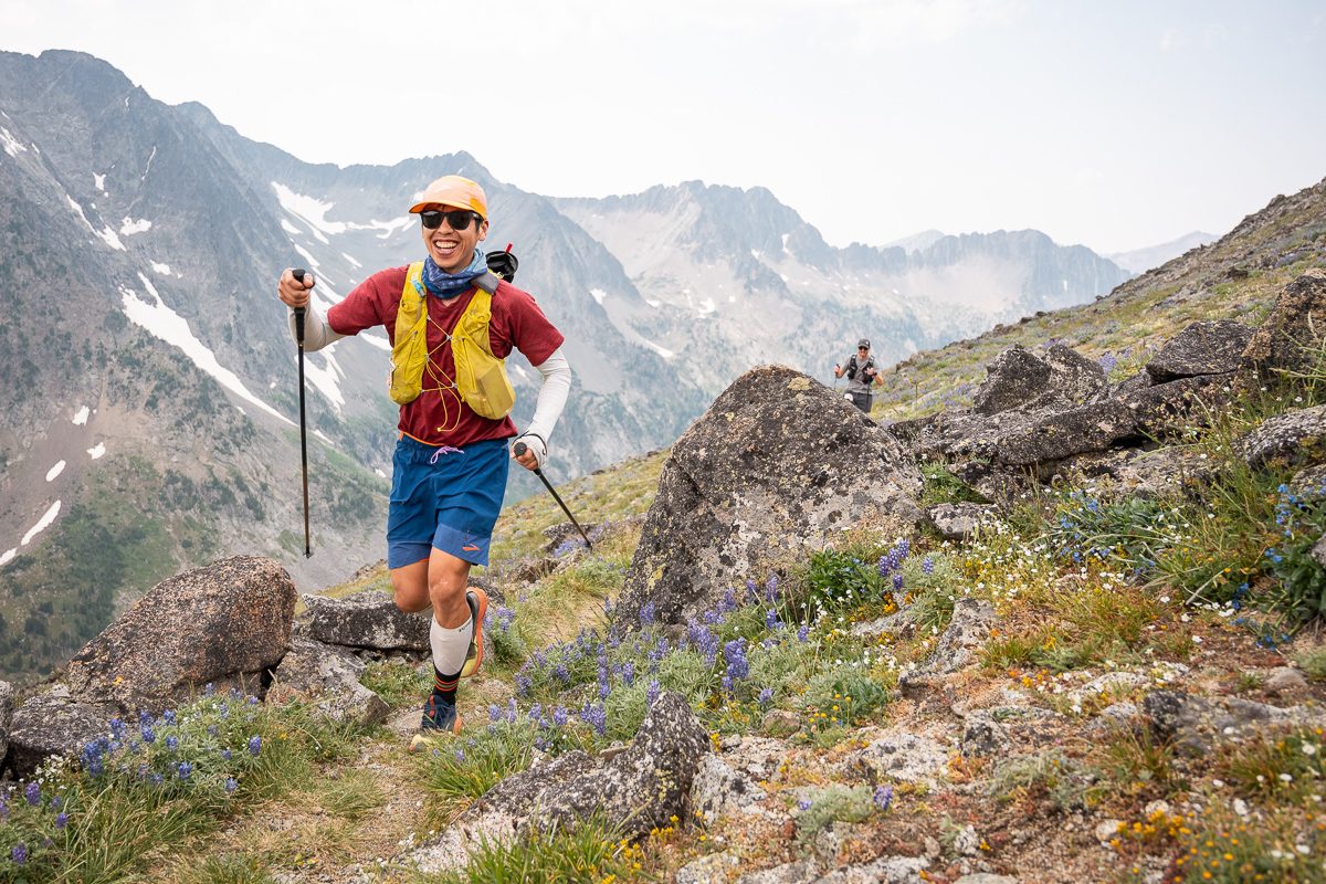
Training this summer’s 100 miler was going great, two 50k races in the spring, the Vancouver 100k in June. Unfortunately, right around my peak week three weeks out from the race, I sliced open my left shin while on a training run on the North Shore mountains. I was going up a snow slope, the snow was slightly unconsolidated with some post-holing ankle deep, but suddenly I punched through what is normally a boulder field. I wasn’t moving fast at the time, but I looked down at my snowy leg and saw the bleeding flapper on my lower shin, along with a long section of skin removed. I’ll spare you the photo. My first reaction was, shit, there goes my plan for the pool party tomorrow, and second, will this heal in time for Crazy 100? I bandaged it up, jogged the 8km and 1500m downhill to the trailhead and drove straight to the medical clinic, where they sent me to the ER just in case. No sutures required, due to the thin skin in the area, and was sent home with a big band-aid.
I spent the next week doing nothing, debating whether to go ahead with my plan to drive down to Wyoming/Montana, two weeks in advance of Crazy Mountain 100. At first, I thought I would drive or fly down one or two days in advance. But acclimatizing to the altitude by camping and hiking seemed wise. The trip grew into adding in a few days in Yellowstone, and then the Tetons came into the picture.
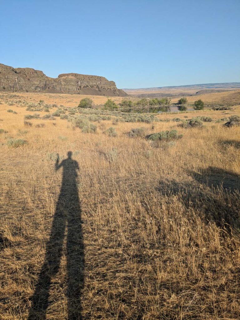
I left North Van on Friday afternoon, and made it to the Washington desert that evening. The next morning, I went for a run/hike around the Ancient Lakes area. In lieu of being at attitude, I tried my best this spring to heat train, which meant many post-run sessions in the sauna or hot tub. Running around the desert in the morning during a heat wave was still a sweaty affair. The rest of the day was spent driving through Montana to a nice campsite along the Madison River.
I thought it would be fun to go climbing if I was in the Tetons, so I posted on the Teton’s climbing Facebook page just in case. I lucked out with finding a partner partner for the Grand Teton, and connected with Brooke who would drive up from Colorado, chasing good weather and alpine climbs. A rough plan was made mid-drive to meet and climb the Grand Teton. Now I had to figure out what the climbing involved.
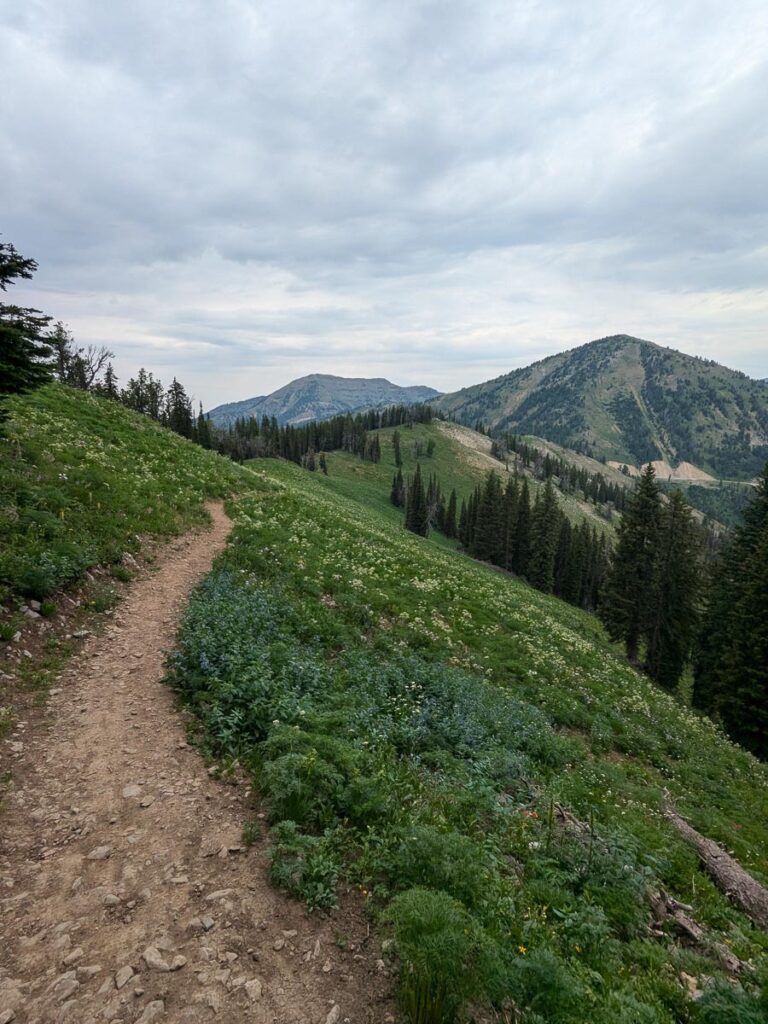
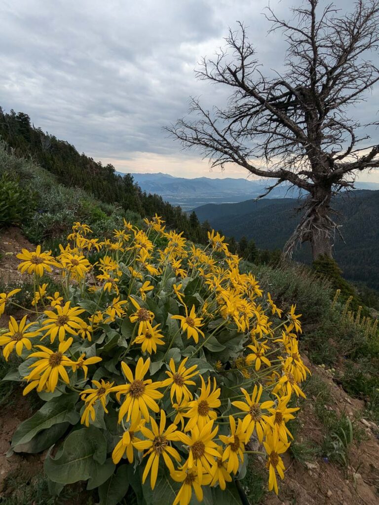
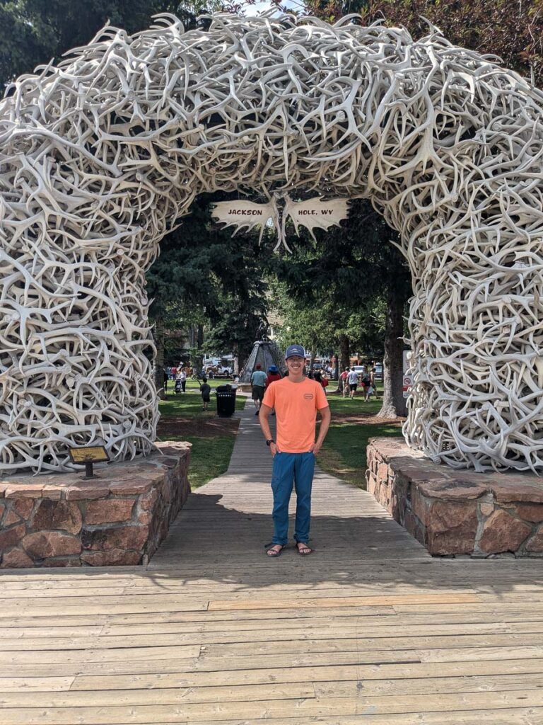
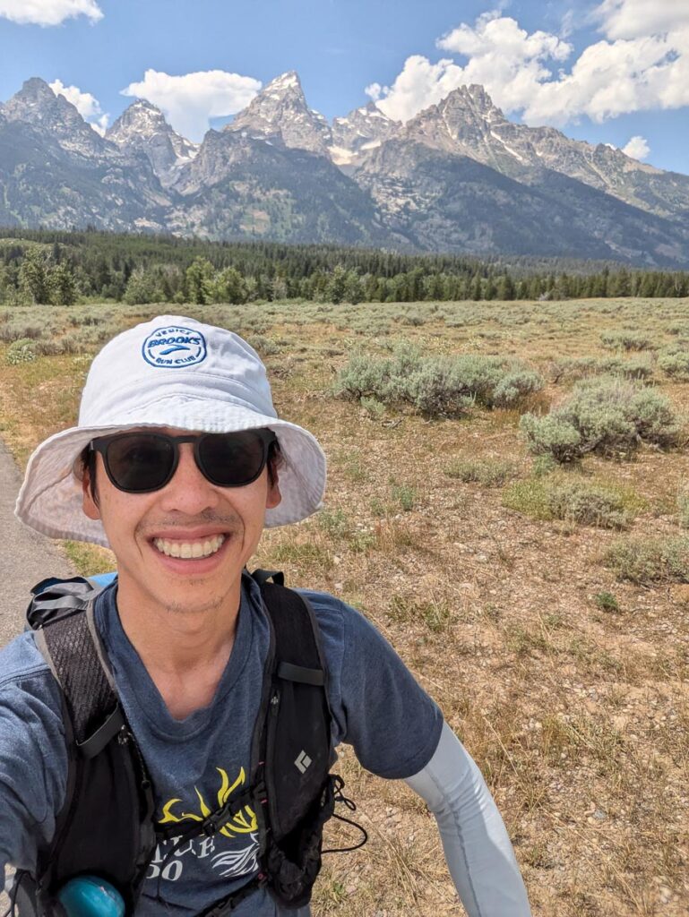
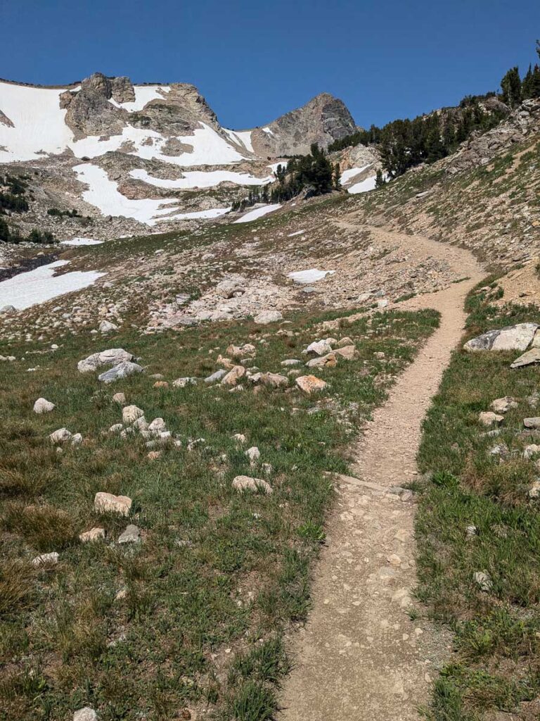
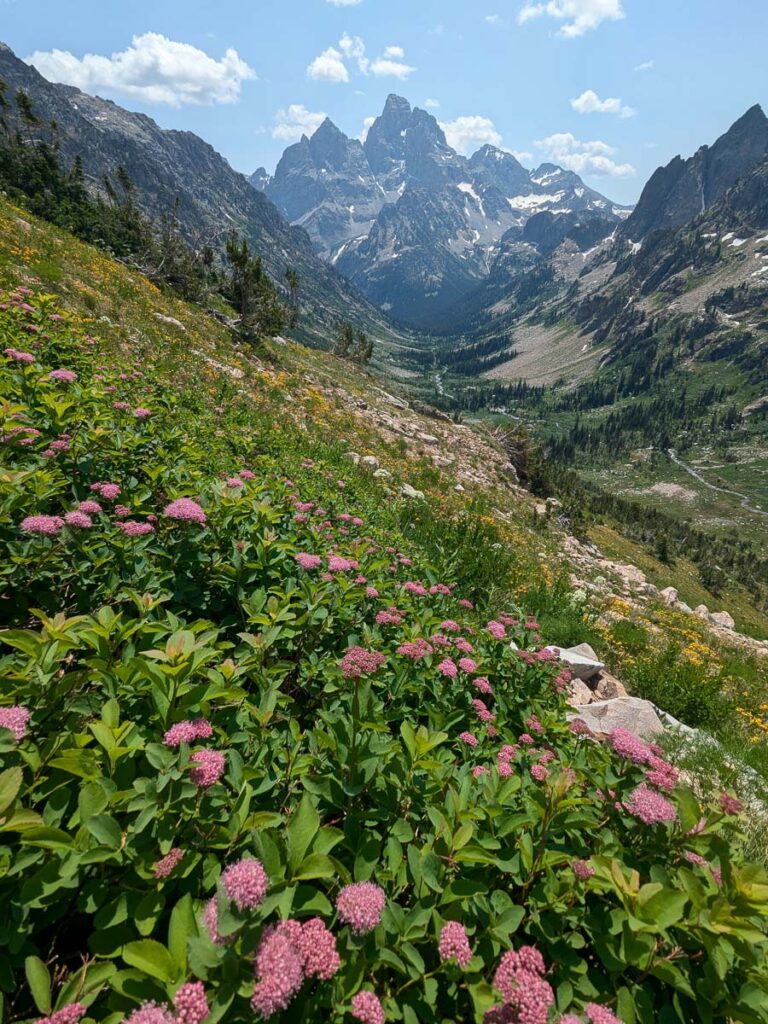
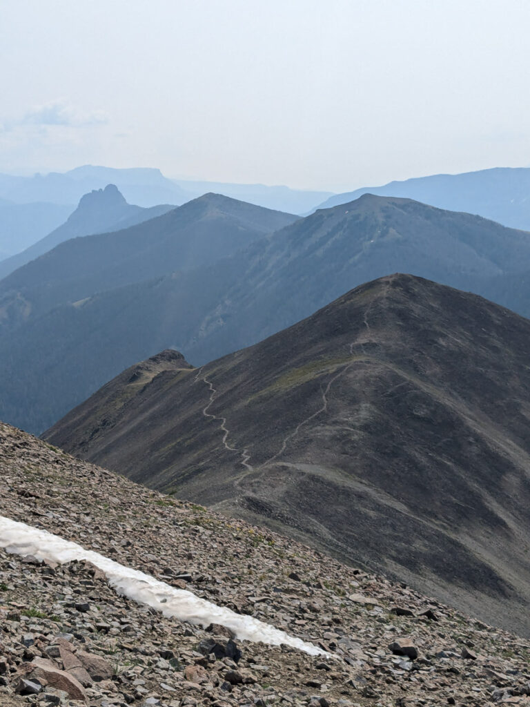
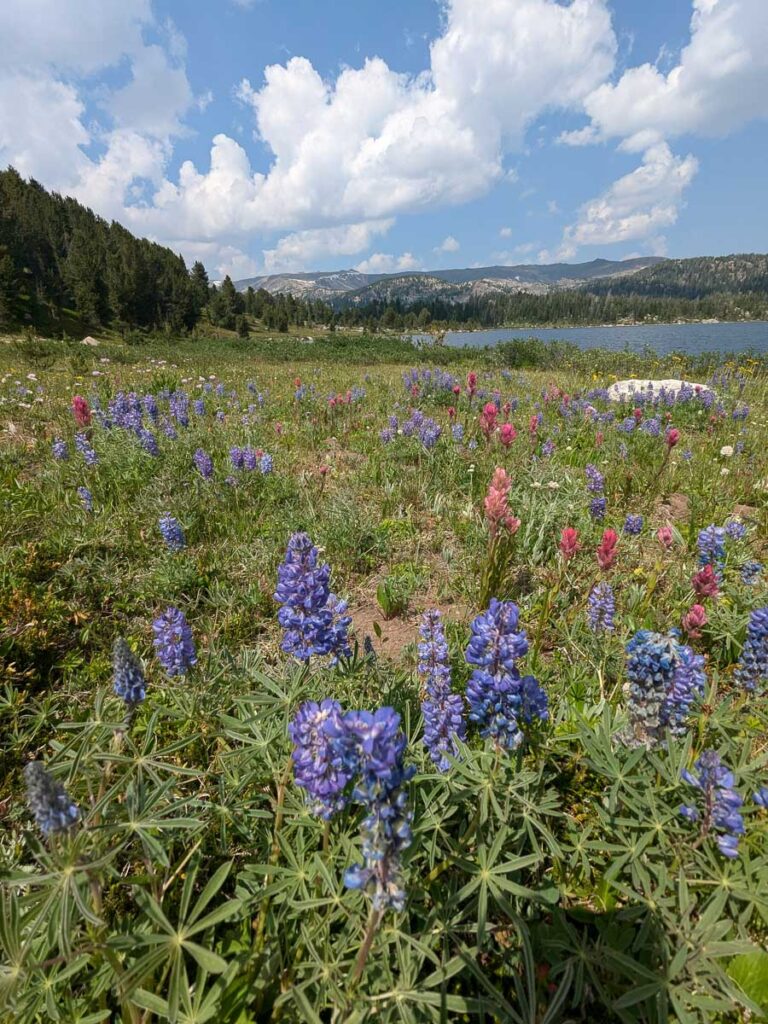
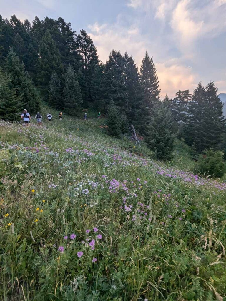
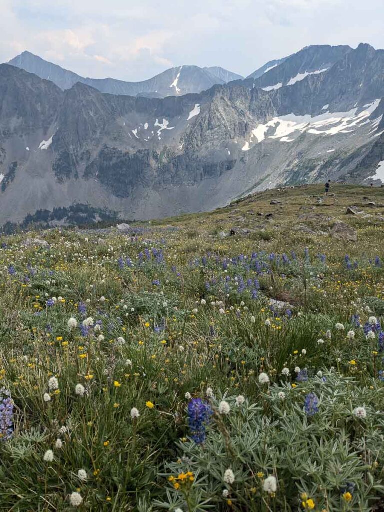
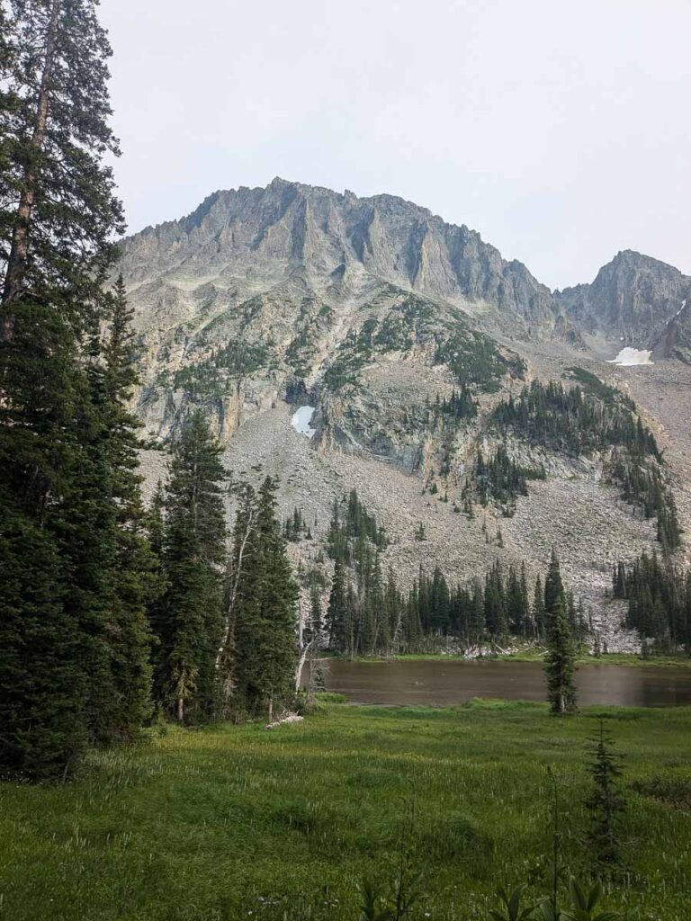
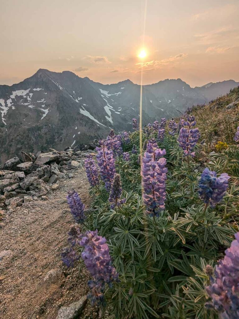
On Sunday, I drove to Jackson via Teton Pass. I went for a quick hike on both sides of the pass, to Mount Elly and Mount Glory, which featured spectacular wildflowers and my first dose of altitude.
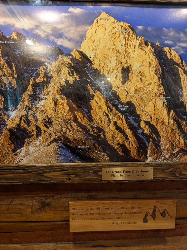
Ancient Lakes Mount Elly trailBalsamroot on Mount GloryTouristing in JacksonLabelled photo of the Grand TetonAfternoon showers on the Grand
The Grand Teton, Twice.
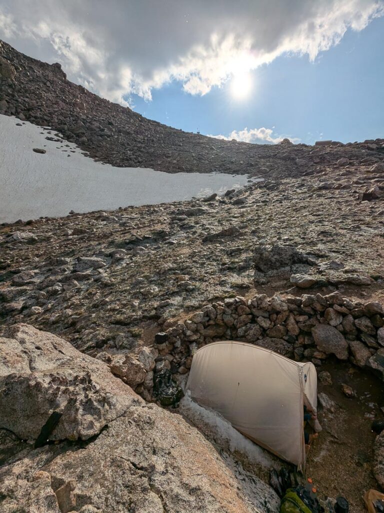
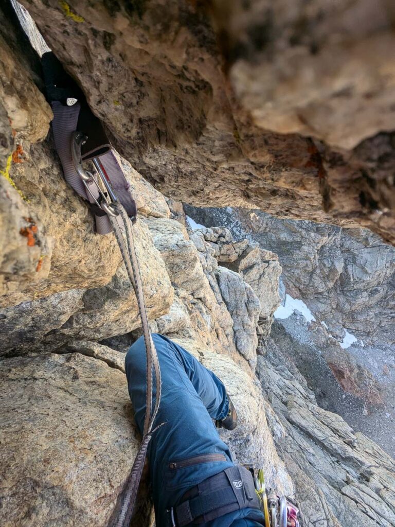
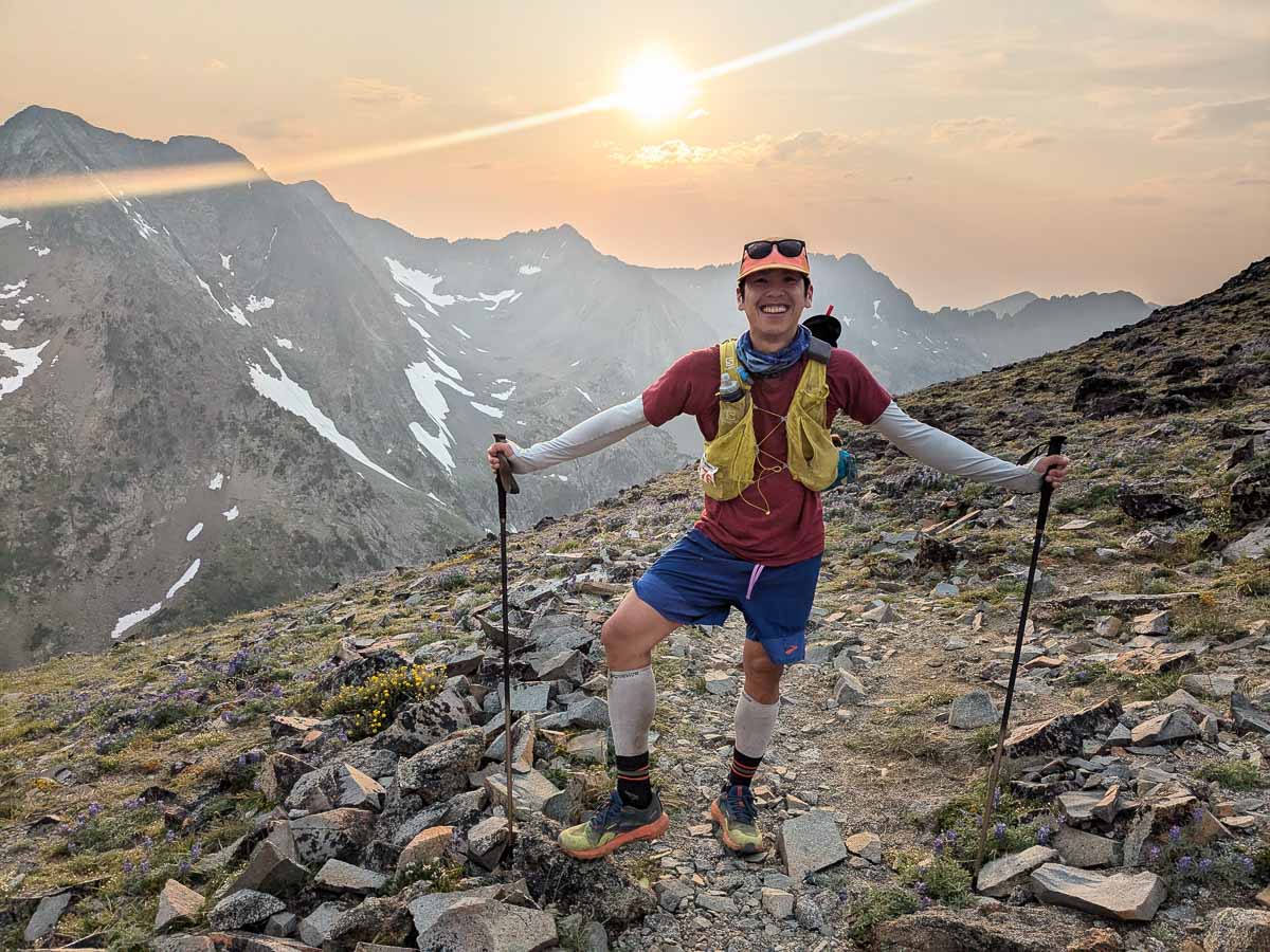
We met at the Jenny Lake Ranger Station on Monday morning to line up for the camping permit. I liked that some permits are held back for walk-up parties, and we were able to get two nights (the maximum allowed per site) at the Lower Saddle, the highest spot to camp. The weather forecast looked ok, with a slight chance of thunderstorms and improving into the week. A lazy morning followed, packing our bivy and climbing gear in the parking lot of the Climber’s ranch. We took our time hiking up to the Lower saddle, waited out a brief thunderstorm through Garnet Canyon, navigated the boulderfields, pulled up on the fixed lines through the cliff band below the Lower Saddle, and finally up to a nice bivy site at 3500m. This was a great spot, views into Idaho on the west side of the col, bear cache for food storage, and running water from hose. The winds were strong that night, and I didn’t sleep much at all.
Made it to the Lower Saddle after a 1500m ascent
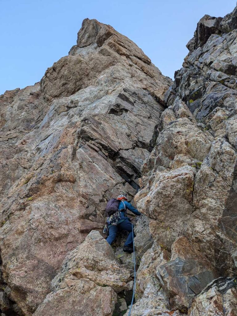
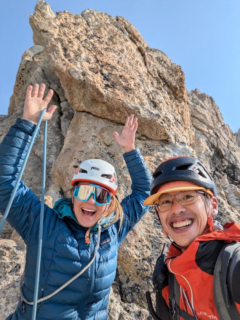
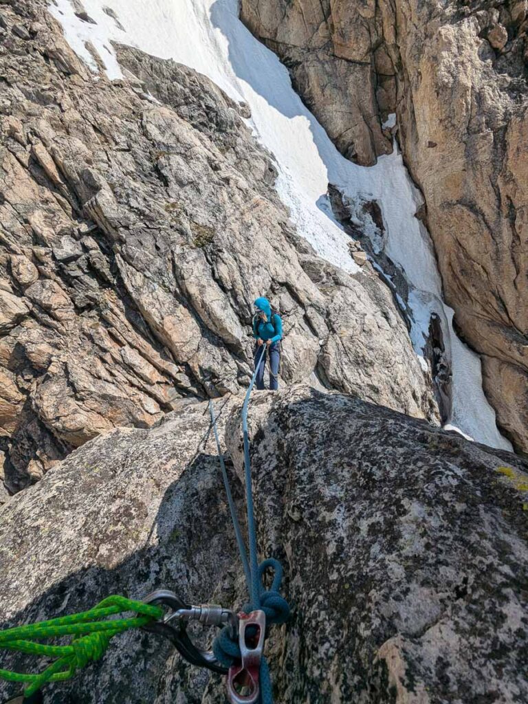
Full Exum Ridge
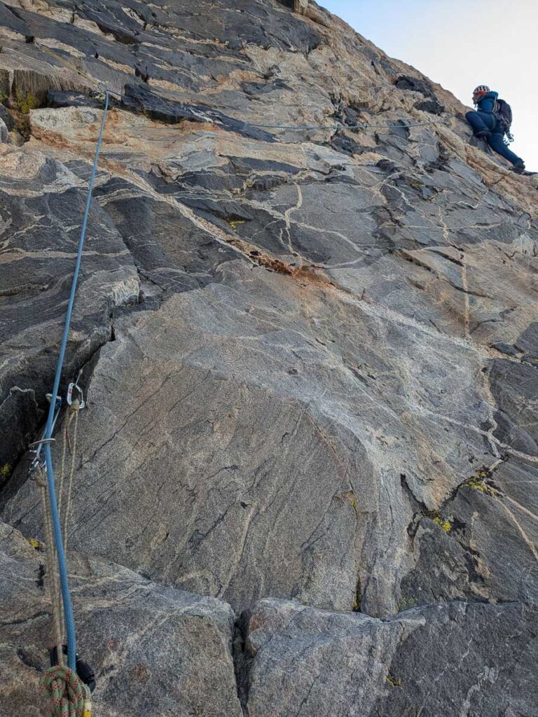
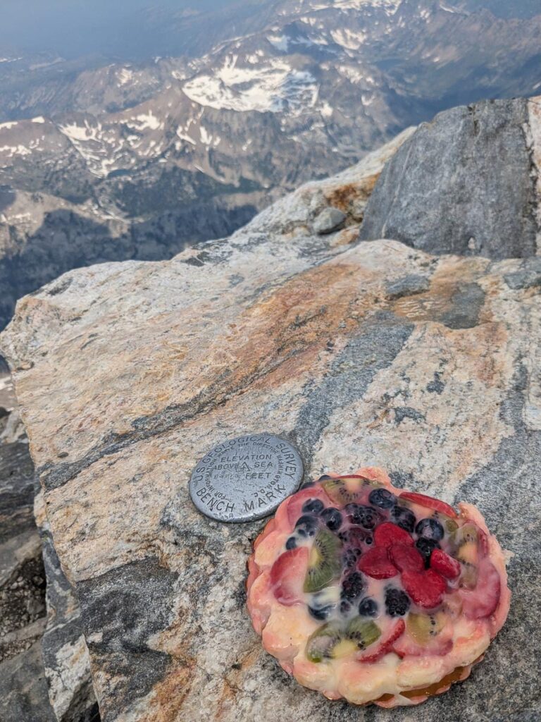
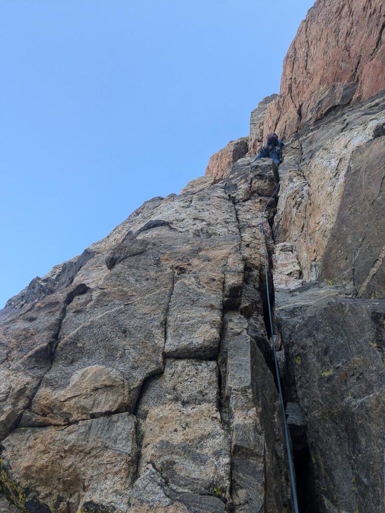
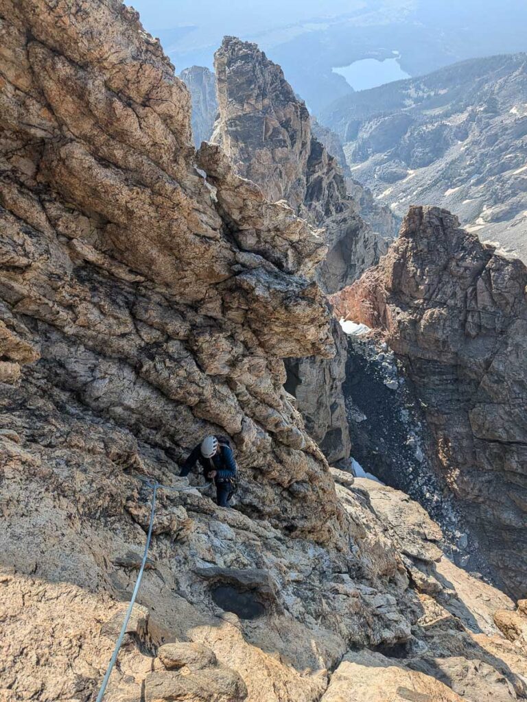
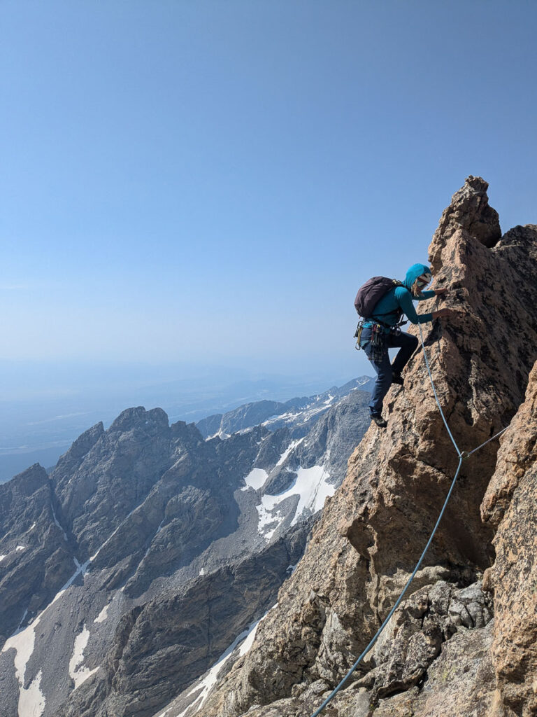
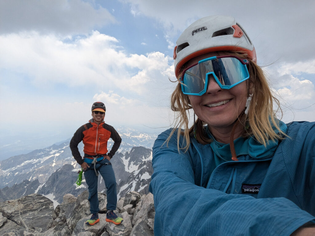
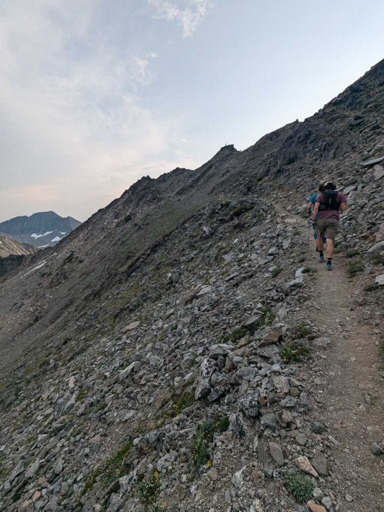
The alarm went off at 4:45am. There was already a steady stream of headlamps on the upper mountain. General rule of thumb is to top out by noon to descend before the usual afternoon thunderstorms. A quick breakfast, and we were off to find the base of the Lower Exum ridge. We left camp at 5:30am, reached the 3rd class approach ramp at 6am, and climbing Pitch 1 by 6:30am. There’s no shortage of beta online for this classic route. The climbing was straightforward enough, especially as Brooke took the harder 5.7+ pitches, the slippery chimneys and the Black Face pitch that climbs across a near vertical wall. I’ve barely climbed this year (4 days total), and combined with the altitude, I found the climbing engaging enough. We reached the halfway point of Wall Street at 10am, which marks the top of the Lower Exum, and the start of the Upper Exum ridge. The Upper Exum ridge is significantly easier, with less sustained climbing. It was a mix of roped up and solo-ing for us. I was happy to have the rope for the more exposed sections, but there is lots of scrambling and hiking too. Given the history of climbing on the Grand, nearly every feature is named. Reading a route descriptions of the Upper Exum Ridge with names like the Golden Staircase, the Wind Tunnel, The Friction Pitch, The V-Corner, The West Leaning Chimney, and The Boulder Pitch in the Sky, can be overwhelming. We were eating pie on the summit at 12:45pm. It had been a smokey morning, with obscured views from the tippy top, but there were no threatening thunderstorms, yet.
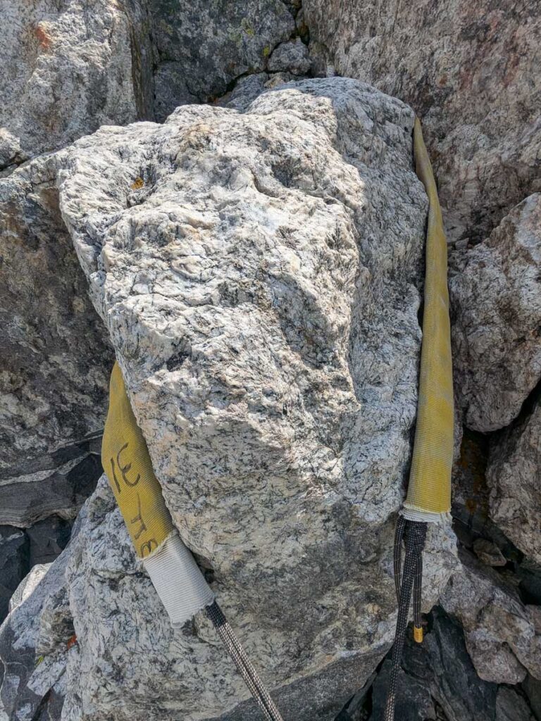
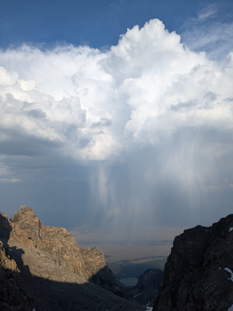
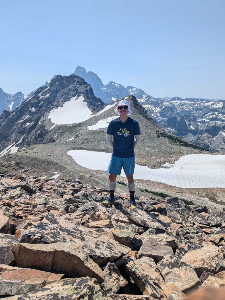
The descent goes down the Owen-Spalding route, down the west face. We followed two local climbers and we teamed up for the two rappels. Finding the rappels was less obvious. Once down at the Upper Saddle, I added a bonus hike up to the Enclosure, a sub-summit of the Grand, but still over 4000m. I caught up with the others on the descent, which seemed like never-ending talus and easy to wander into convoluted terrain. There is a spot called the Eye of the Needle, where you tunnel through the rocks. Back at the Lower Saddle, we watched an air rescue off the Gold Face Variation of the Lower Exum ridge, a good reminder of the risks we take in the mountains. About an hour after the successful rescue, a late afternoon thunderstorm rolled through. Lucky timing for that rescue. Brooke and I were sitting around being lazy, watching the first rain drops. The tent wasn’t set up yet, and we both wondered if this cell would blow through quickly. Well, it didn’t, the hail started, the wind picked up, and we rushed to setup the tent. For the next thirty minutes, the hail came down hard, leaving us soaked and cold. We tried to dry out in the fading sun post-storm, before settling in for another night outside.
Pitch 1 Black Face pitchFurther up the Black Face PitchLast pitch of the Lower ExumStoke was highA little solo-ingSummit pieThe main rappel, with a firehose for anti-chafePost-storm hail accumulation on the tent
Petzoldt Direct to Upper Exum
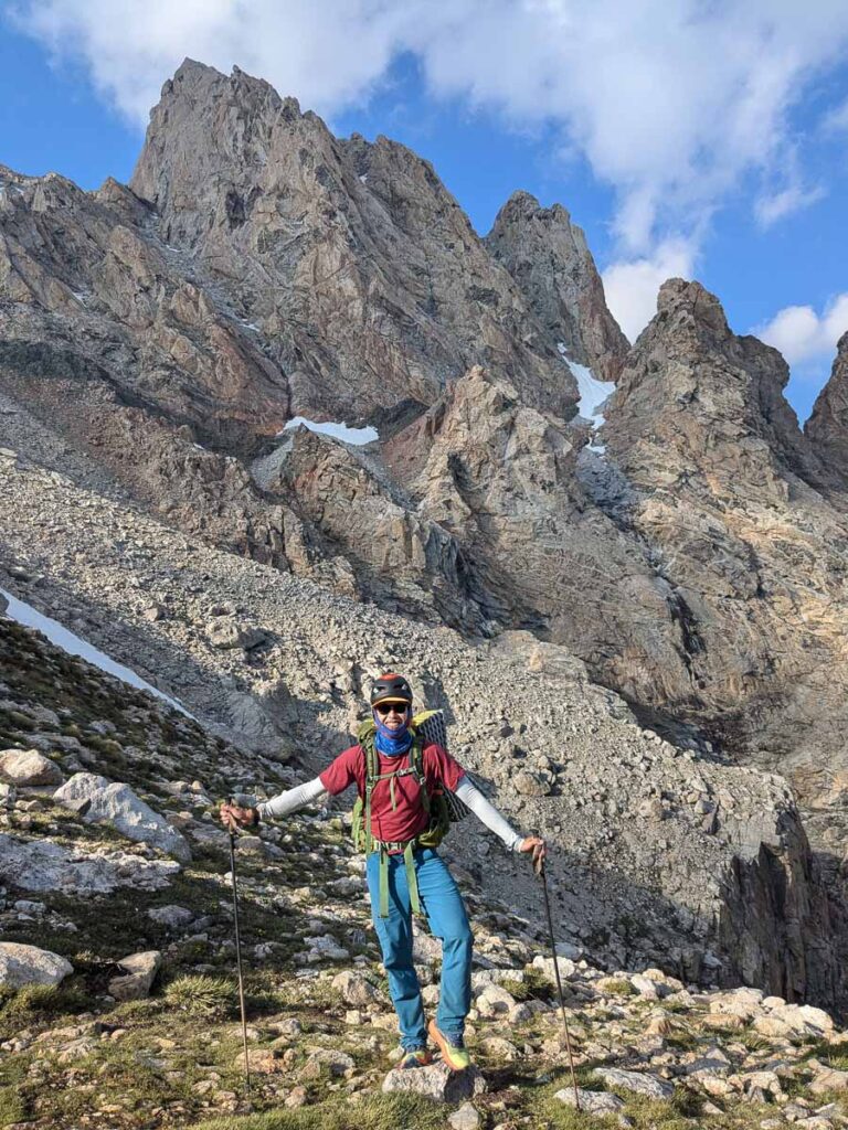
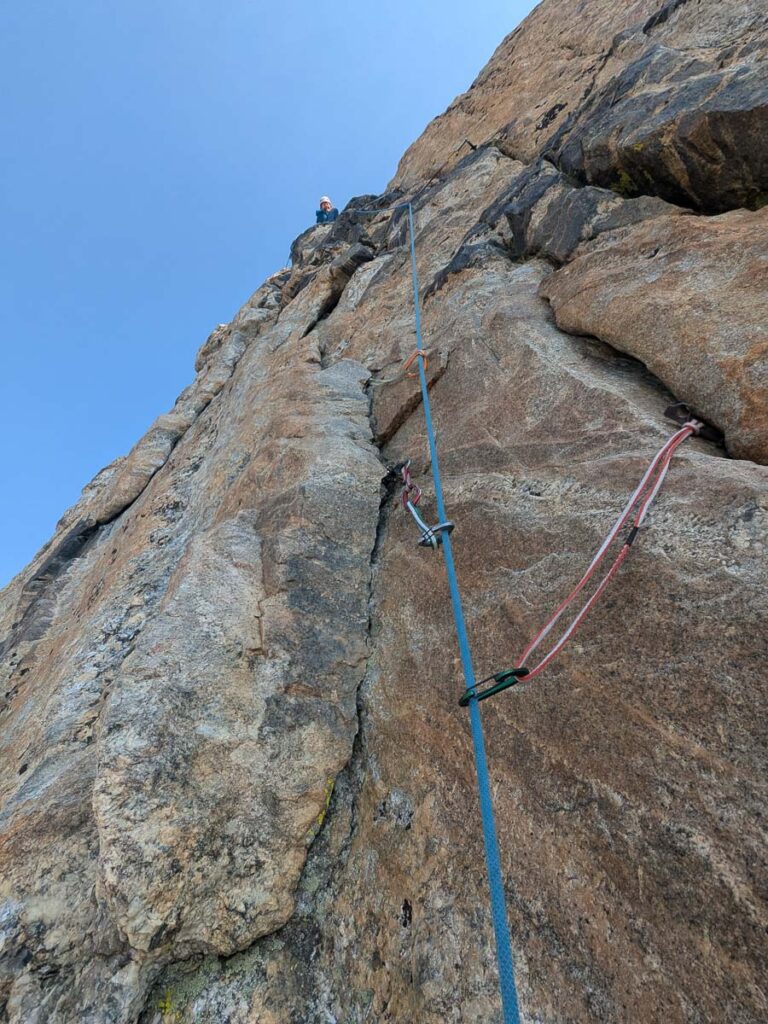
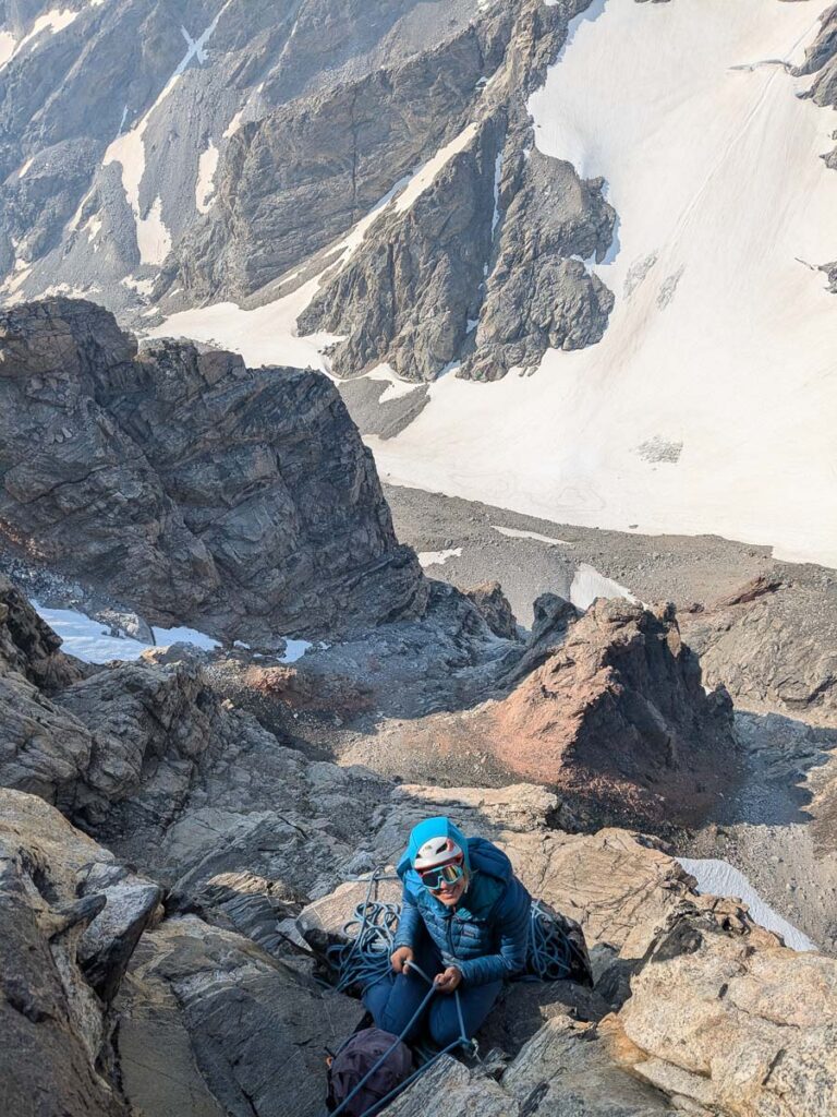
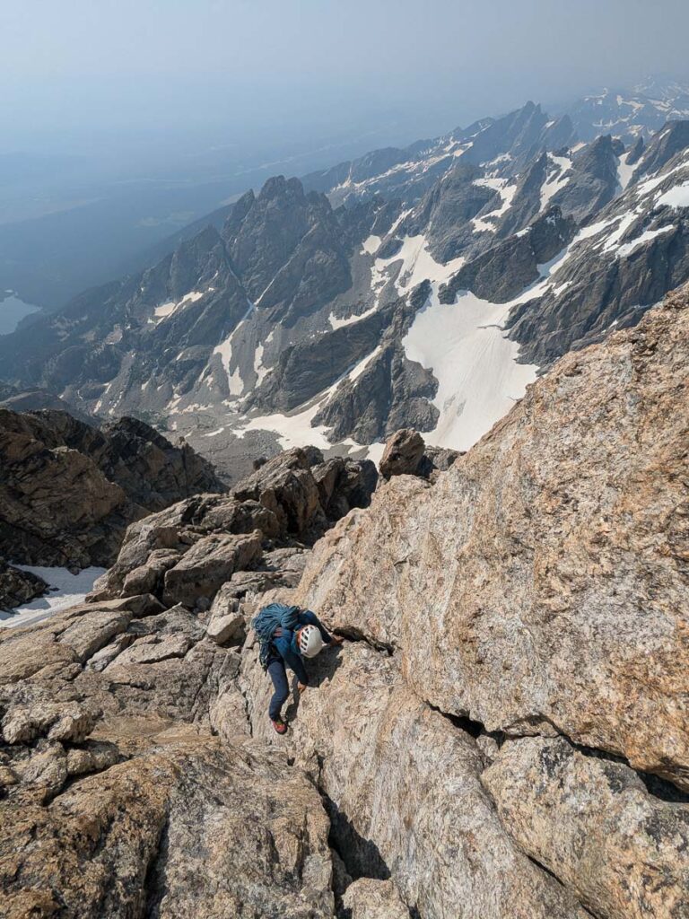
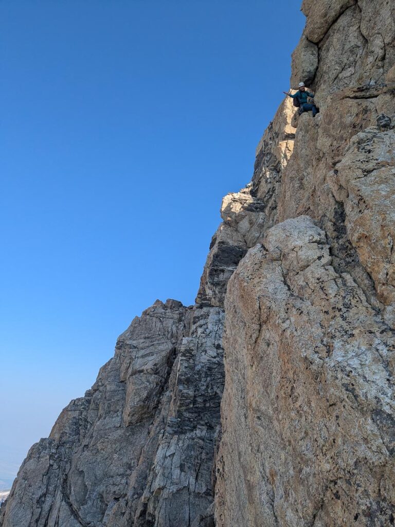
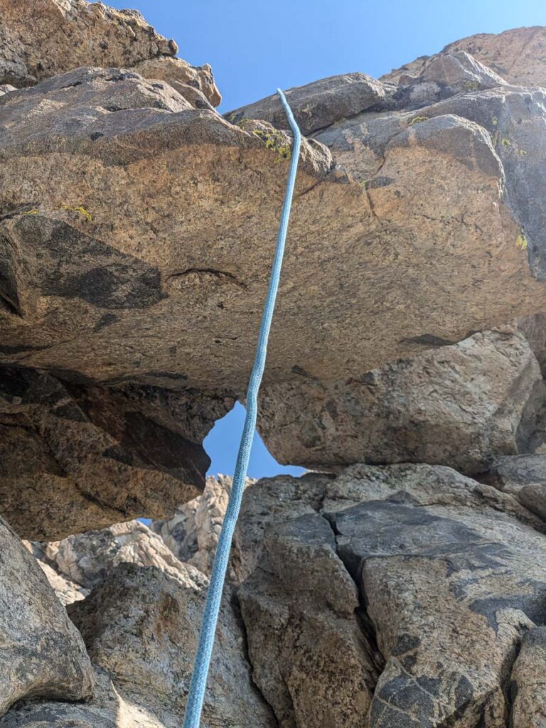
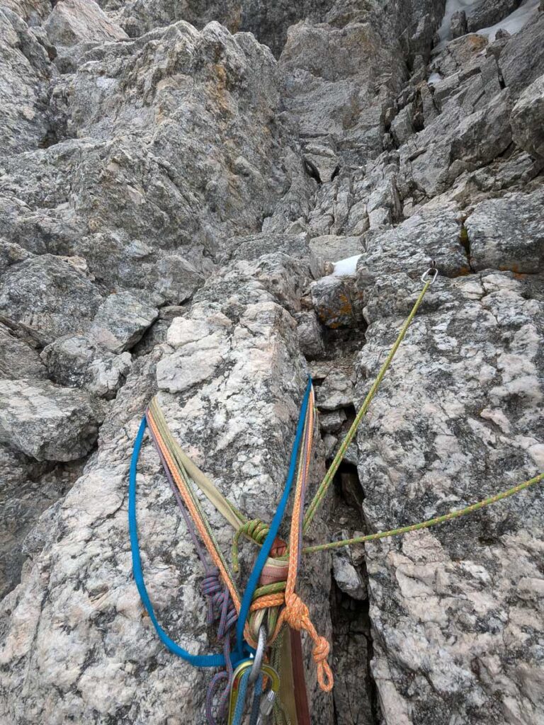
Not having slept much in the previous days, I suggested sleeping in, until 5am. In the morning, we faffed around, somewhat undecided on what to climb. We both wanted to climb the Petzoldt Direct to the Upper Exum, but knew it would make for a long day with the descent back to the ranch. Eventually, we left camp at 6:20am, heading past the start of the Lower Exum ridge this time. This start is less obvious compared to the Lower Exum. We went as far east towards the snowy Stettner couloir, and then started scrambling up the grey rock. The Petzoldt takes a ramp after climbing the snow, versus the Direct Petzoldt which avoids the snow all together. The route up wasn’t obvious, and I almost pulled out the rope, but eventually the angle eased off, and we reached a nice ledge with the wide crack indicating the start of Pitch 1. Once again, Brooke took the lead on this crux pitch, starting at 7:30am, up a wide crack and chimney. Pitch 2 was a wildly exposed step left around two roofs and then easier climbing. I took Pitch 3, which was an awesome pitch of easy-5th class climbing with endless holds everywhere up towards a natural window through the ridge – incredibly textured rock, think giant quartz crystals, sheens of biotite, with ribs and fins for holds, five fun. Pitch 4 climbs over a natural window, it’s possible to go through but Brooke lead us up and over. Pitch 5 was a short belay down a knife edge, and then Pitch 6 was more easy climbing before a short rappel 15m at the top (11am). We then scrambled up 3rd class terrain to re-join the Upper Exum ridge in the Wind Tunnel, rather than climbing snow in the Ford couloir. I thought the climbing and position on the Petzoldt Direct was more fun compared to the Lower Exum. We climbed the rest of the Upper Exum, which took just as long as the previous day. The hail started as we climbed the Boulder Problem in the Sky pitch. Brooke forgot to take a summit photo on the previous day, so we continued the final couple minutes up to the summit at 1:20pm. A summit selfie, and then it was time to get off the mountain before the weather worsened. It started raining, with the cracking sound of thunder nearby, and most of the slabs were now wet, making for a slower and more challenging descent. The rain stopped and the sun came out again as we descended to the Lower Saddle at 3:30pm and eventually back to the Climber’s Ranch at 7:30pm.
“It was amazing to connect with an ultrarunner who used to be an ultraclimber, who had the stoke to walk up towards The Grand a few hours after meeting. Then we managed to pull off two nice routes in two days” – Brooke, who has now climbed the Grand seven times on her trip there!
It was fun to climb again, but my mind was back on running, or at least hiking my way to the finish of Crazy Mountain 100.
Brooke leading Pitch 1Slacking off on Pitch 2 Looking down the roof traverseThe Five Fun pitchOver the windowA short pitch across the knife edgeMake sure to rappel directly down the ridgeSummit number two!Rappel station down Sargeant’s chimneyElk
Paintbrush-Cascade Loop
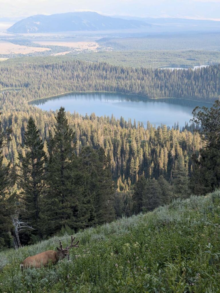
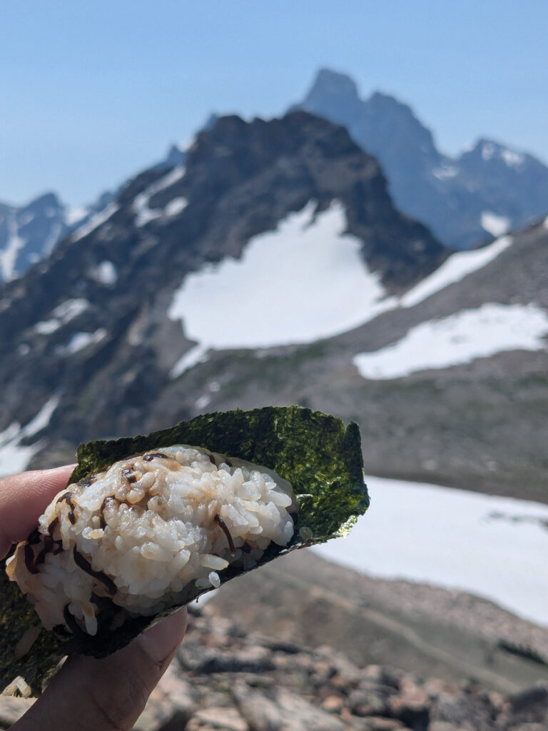
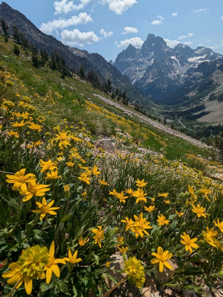
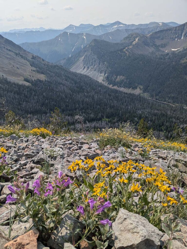
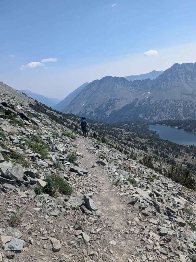
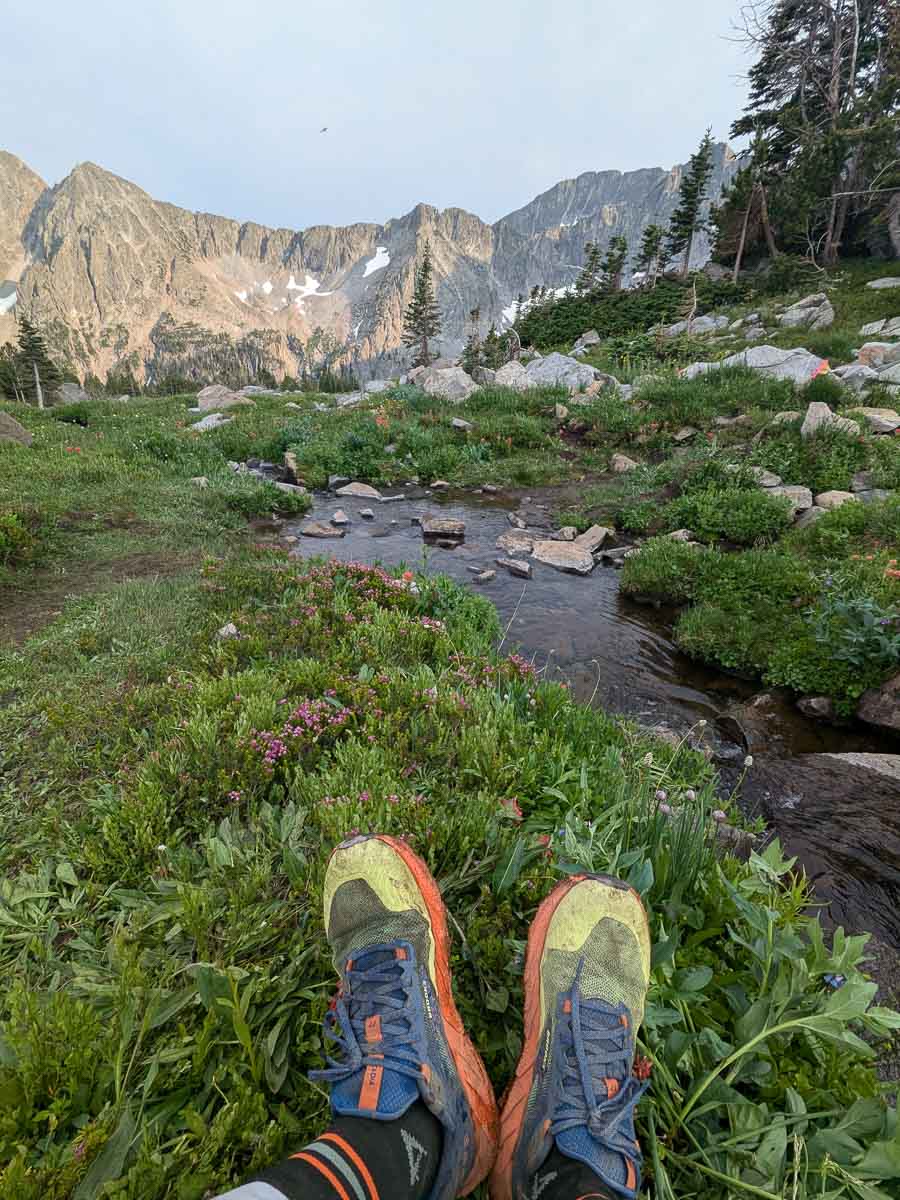
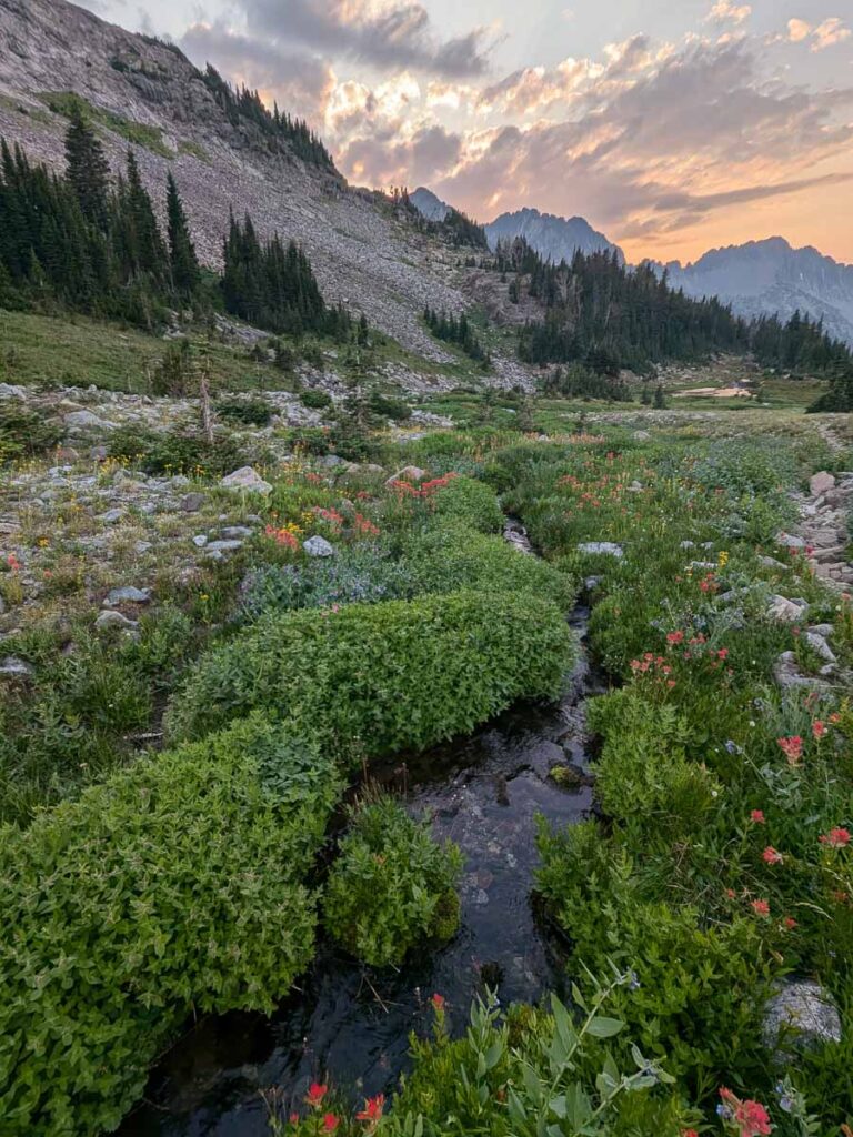
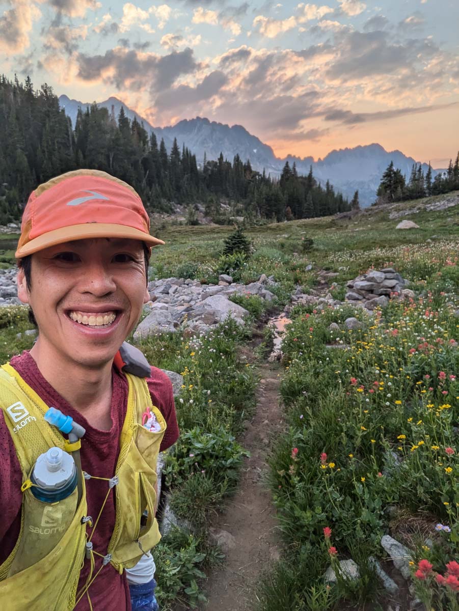
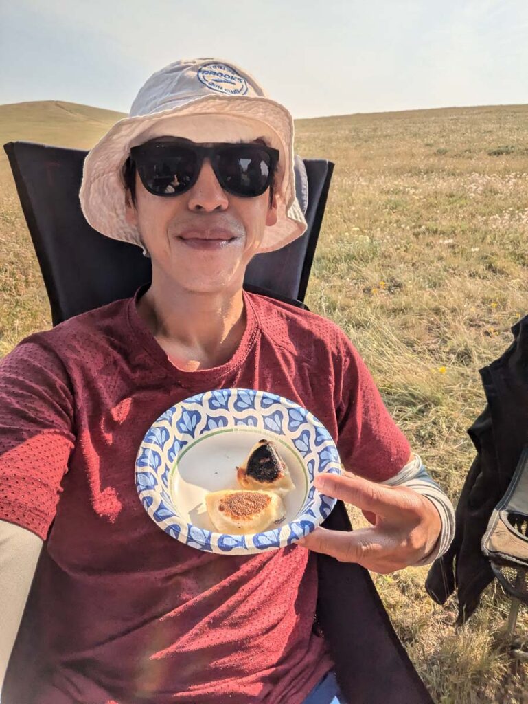
My taper plans leading into Crazy Mountain 100 fell apart after I cut my shin. Hiking was ok, but running didn’t seem to help with the healing process. Shin injuries can take up to a month to heal, and I don’t think long days on feet help. But after a rest day, I went for a long run on the Paintbrush-Cascade canyon loop. Normally I wouldn’t go for 33+ km run a week pre-race, but I needed this one for a confidence boost that I could still run. The parking lots were already filling up with my late post-pancakes start, but I found a spot at the Leigh Lake trailhead. The highpoint of the run was 3328m at Paintbrush Peak, where I snacked on an onigiri thanks to one of the guests at the Ranch. Pro-tip, wrap the seaweed separately. A highlight was running down the south facing meadows towards Lake Solitude, which were in full bloom, with many photo stops, looking at the backside of the Grand. Due to a short section of snow on Paintbrush Divide, most people hike up Cascade Creek instead, and I started seeing more people as I descended the North Fork of Cascade Creek, then into the runnable trail along Cascade Creek. For a shorter loop, I should have taken the turnoff for the horse trail around the northwest side of Jenny Lake, but instead I followed the crowds toward Inspiration Point and Hidden Falls. This added lots of extra miles going around the busy lakeshore trail in the afternoon heat. I walked the last five kilometres back to the car after getting an icecream and soda from the Jenny Lake store.
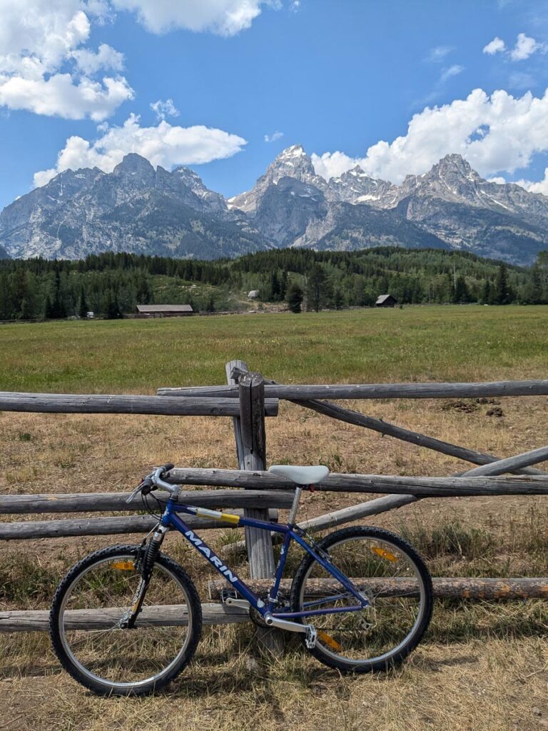
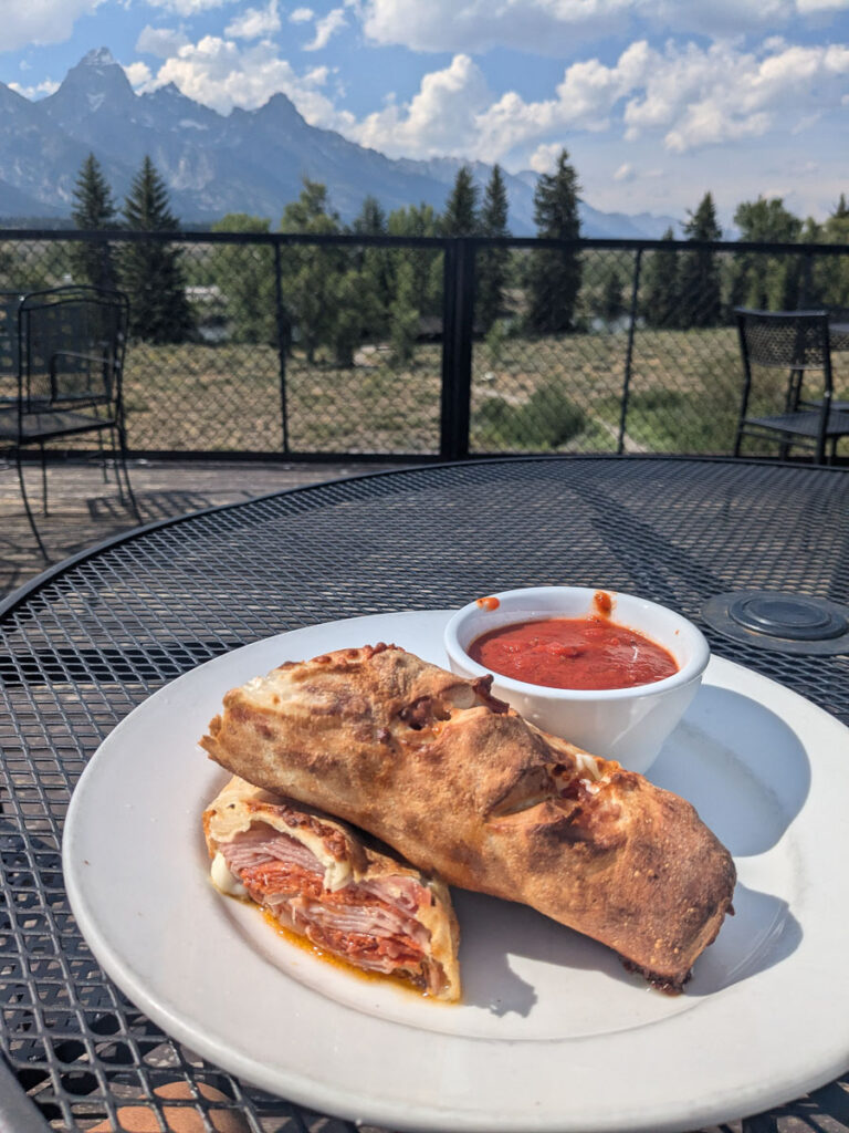
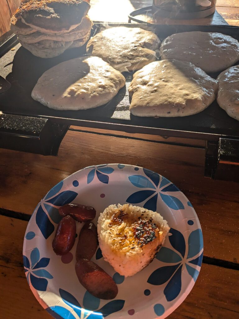
Rest day bike rideLoaner bike from the RanchLunch at Dornan’sCarbs for breakfastPaintbrush DivideOnigiri on Paintbrush PeakPaintbrush PeakIncredible flowers Bye Tetons, I’ll be back!
Yellowstone National Park
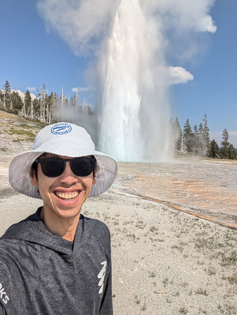
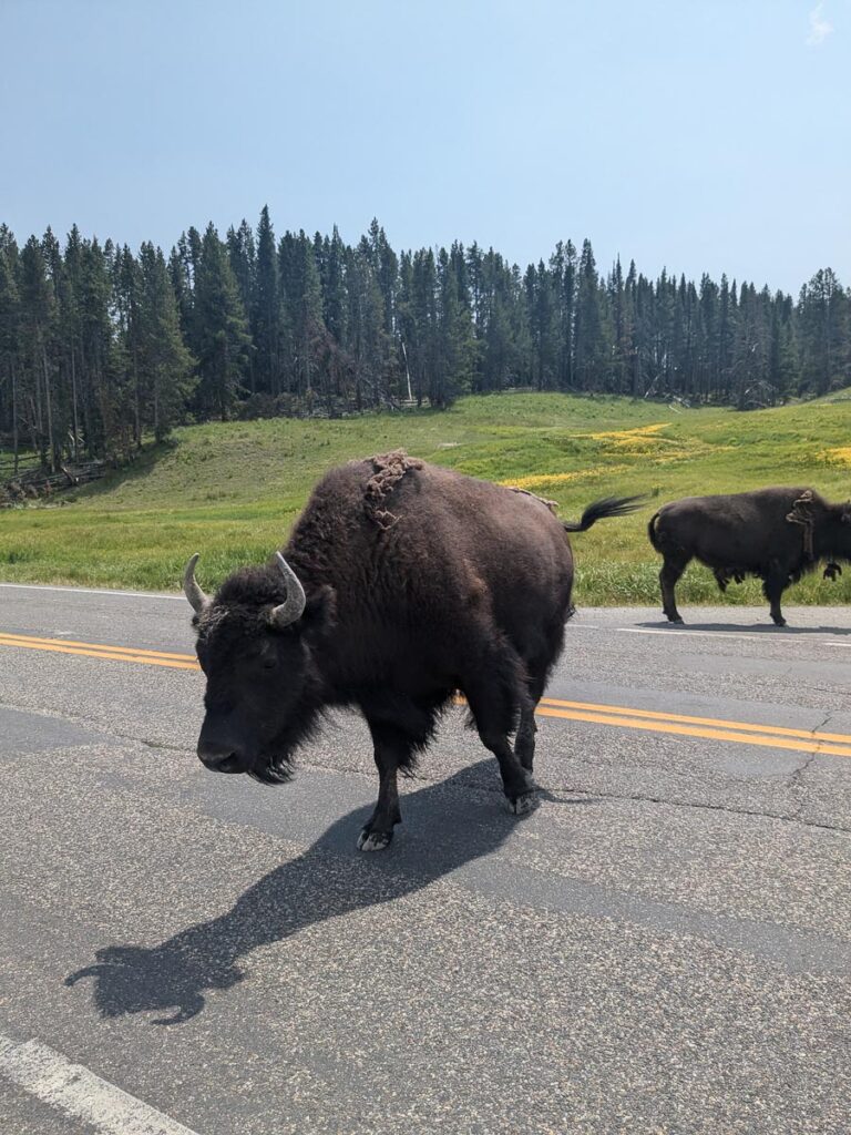
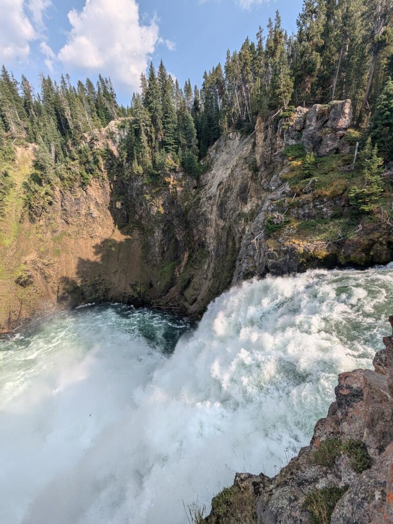
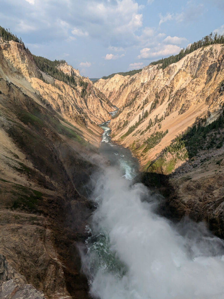
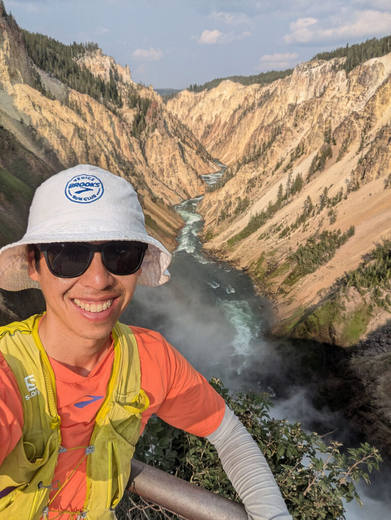
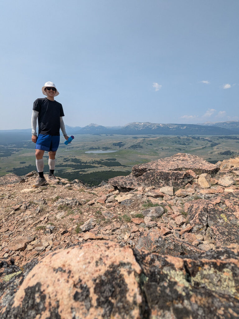
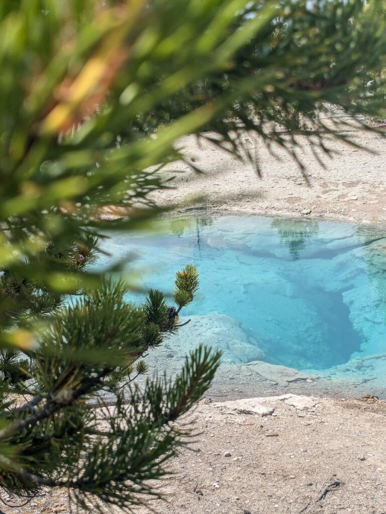
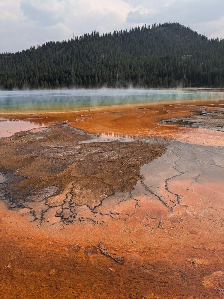
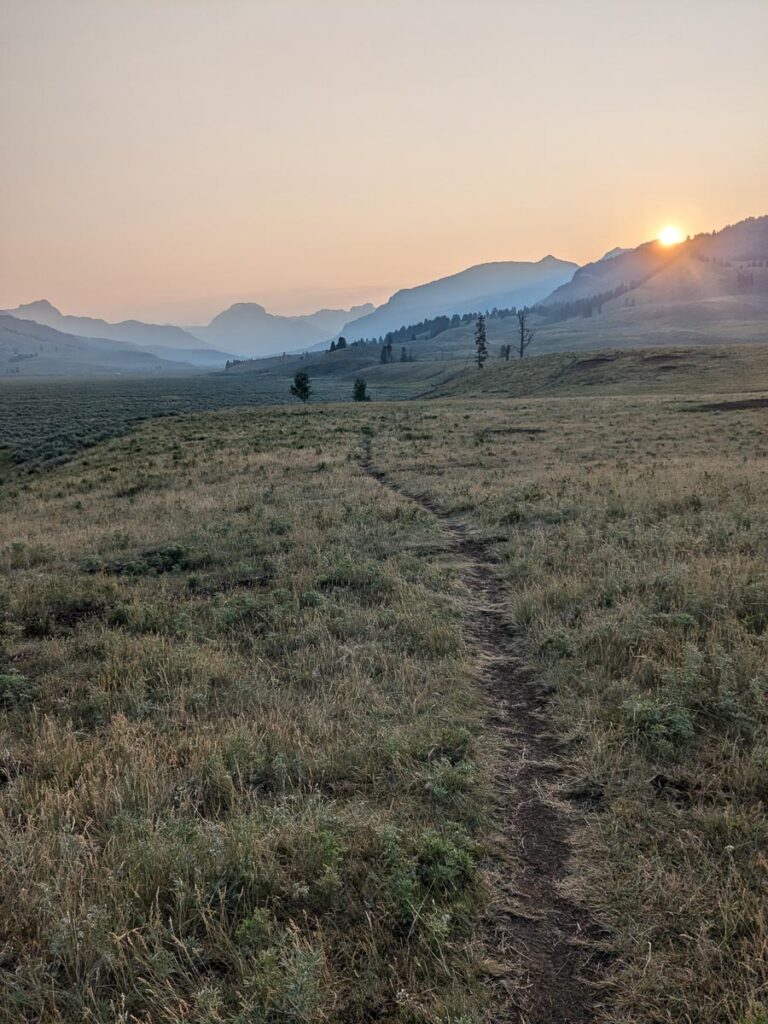
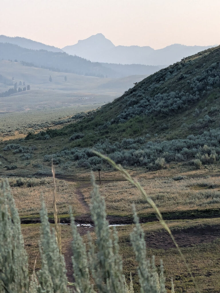
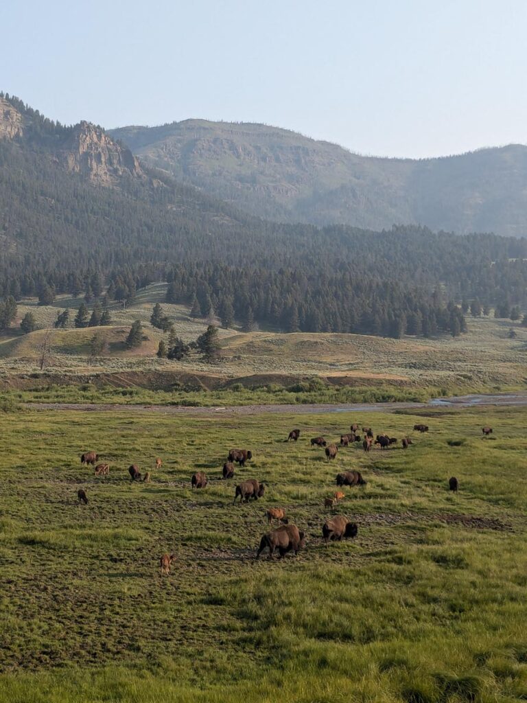
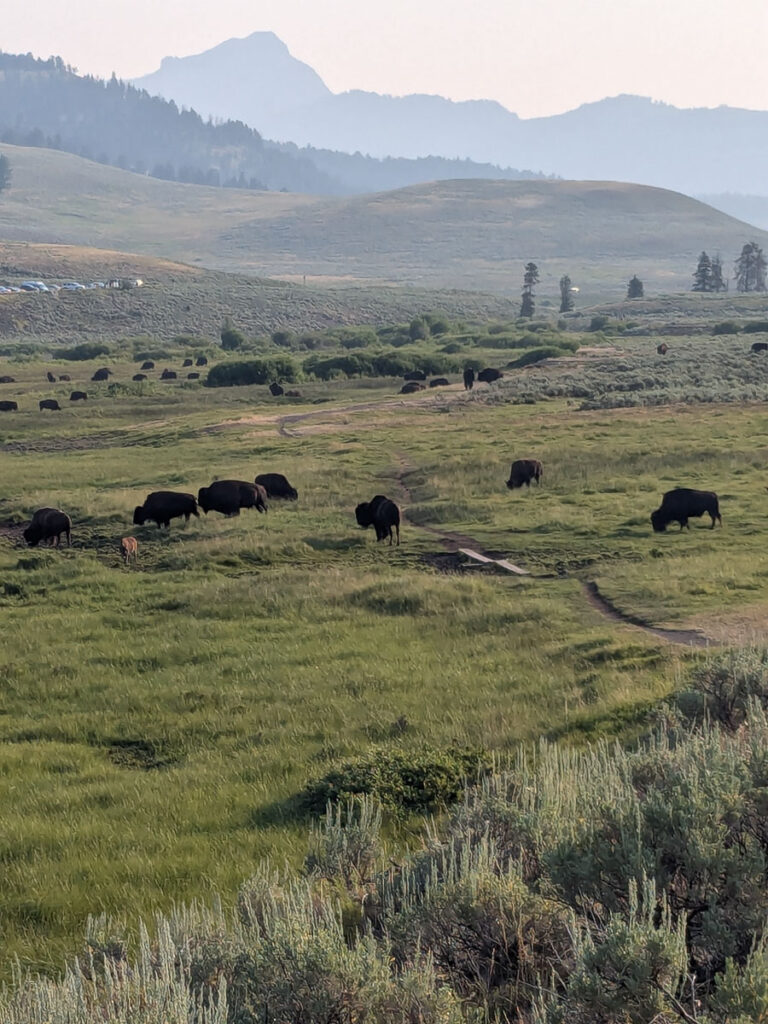
I spent the next part of my trip in Yellowstone National Park, with a few days wandering around all the geysers, checking out the wildlife, and spending more time hiking. I was hoping the extra days spent at altitude would help me with my race, plus this place was a bucket list place to visit. General rule for acclimatization pre-race is arriving to altitude one week beforehand, or otherwise as close to the race as possible. Asides from overwhelming crowds at the Grand Prismatic springs, it felt less busy than I was prepared for, despite being in peak tourist season. I hike/ran Avalanche Peak (3221m), in the east side of the park, a 7.5km roundtrip with 620m of vert. A fun summit on a good trail with a rocky scree ridge near the top, with smokey views into the Absaroka range. I checked off my Yellowstone bingo card with a long bison traffic jam that afternoon, prior to a second run/walk along the view points on the south and north rim of the grand canyon of Yellowstone. The overlooks on the brink of the falls are busy, but a beautiful place to be. Lower in elevation, Bunsen Peak (2599m) was another short hike/run in the northwest corner of the park. A short hike, 7km and 390m of vert, a nice start to the morning before an afternoon of boardwalks around the geysers. I stayed at campgrounds mostly (Bridge Bay, Eagle Creek outside the park, Mammoth) but I treated myself with a stay at the Roosevelt cabins. I suggest booking in advance, but it was possible to find campgrounds a week out, but it just took some refreshing and checking to find a cancellation. Each part of Yellowstone Park feels different and worth spending time in. For wildlife viewing, an early morning visit to the Lamar Valley is recommended. On the return from a sunrise hike up the Lamar Valley, a herd of hundred plus bison had taken over the path, a common occurrence around here.
The Grand geyserMarmotsBeyond the summit of Avalanche PeakTraffic jamBrinks of the lower fallsThe Grand Canyon of YellowstoneSummit of Mount BensenNorris hotspringsGrand Prismatic springsLamar valley trailBisons on the trail
Beartooth Plateau
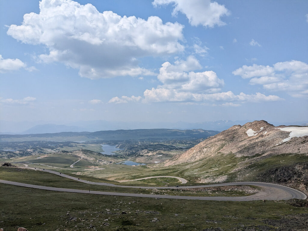
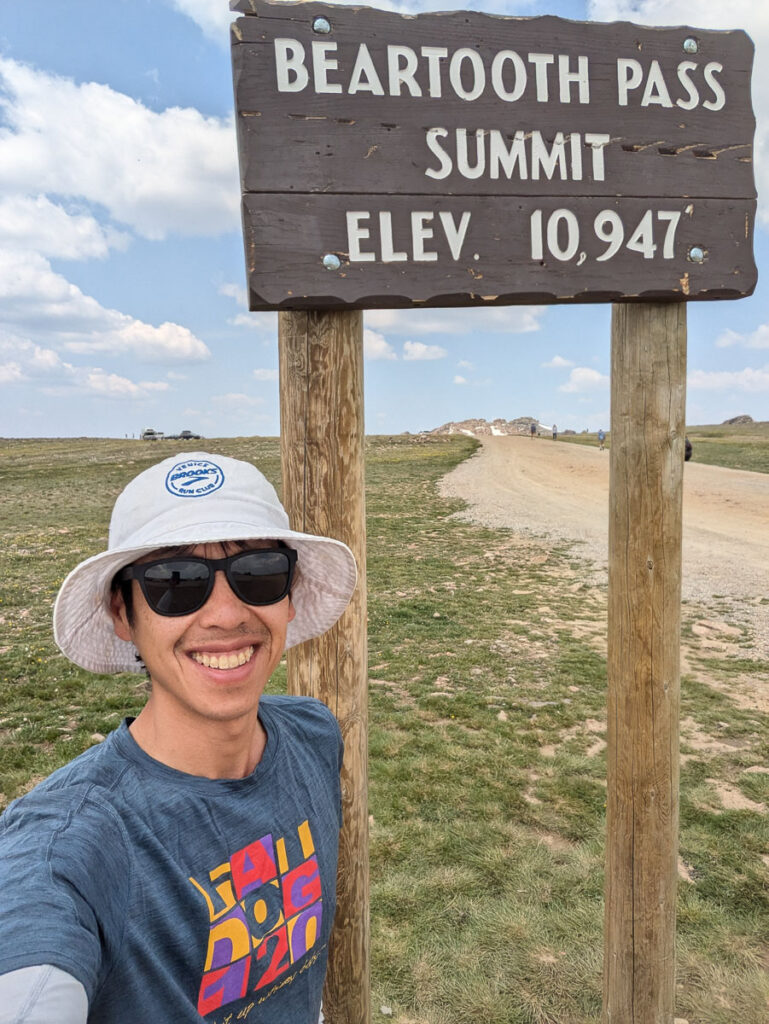
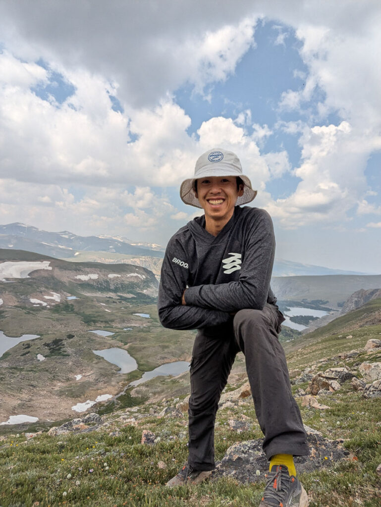
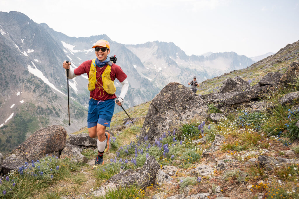
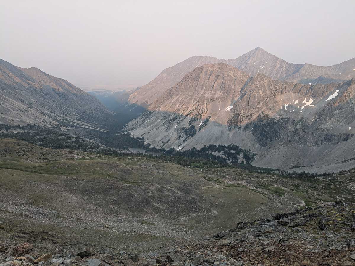
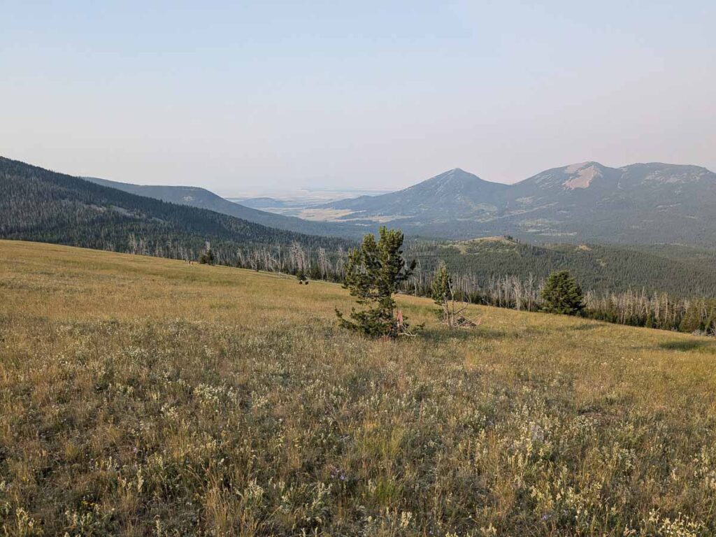
The highlight of the Yellowstone trip isn’t actually in the park, but it was driving the Beartooth Highway, which goes up to a vast high-elevation plateau of lakes with some of the oldest rocks on earth. It was time to buckle down on the taper, and what better way than driving one of America’s most scenic highways. I couldn’t believe I could drive up to 3300m on a paved highway, and then get out of my car and wander around the alpine. There are over a thousand lakes on this high alpine plateau, so I couldn’t pass up the 4km hike around Island Lake. This is definitely a place I’d love to come back to and explore more of.
Look at those hairpin cornersSummitFlowers around Island Lake
Pre-Race
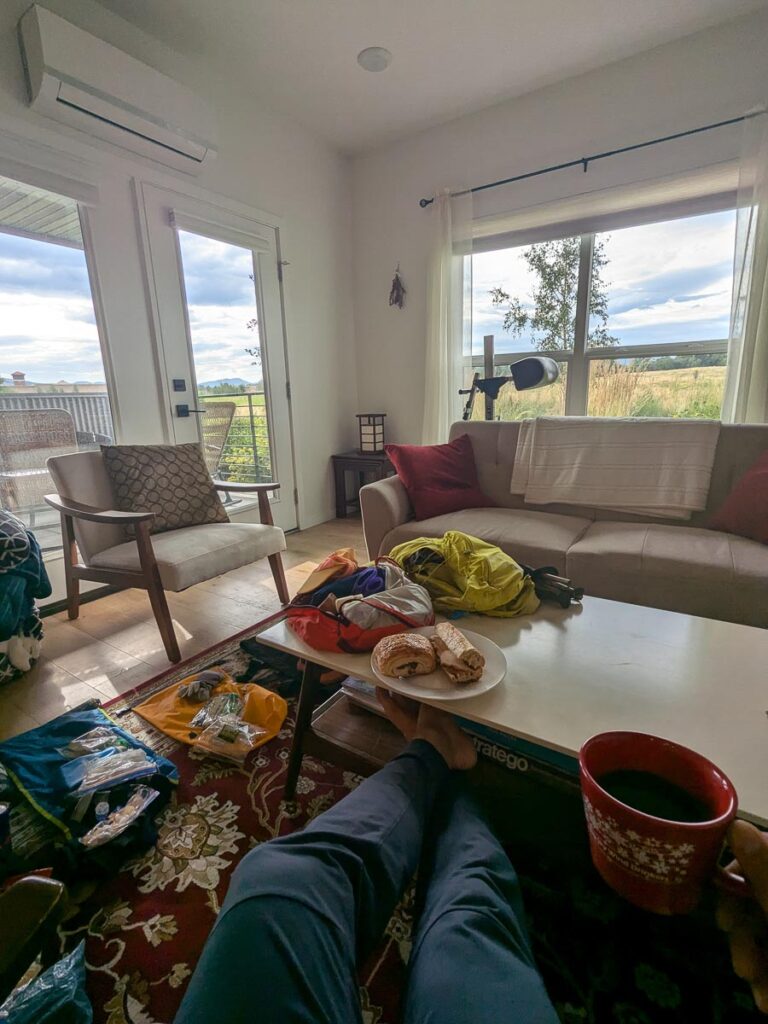
My pre-race drop bag organization and mental shift from climbing/hiking/vacation mode was aided by the generosity of my new friends Grahame and Tommy whom I met at the Climber’s Ranch, who offered their place in Bozeman. Running solo without crew at Crazy Mountain, I needed to stock my dropbags with all the essentials. I had a drop bag at Ibex (31.2 km), Halfmoon (69.8 km), Sunlight (101.8 km), Crandall (113.3 km), Forest Lake (126 km) and Hunting Camp (149.3 km). Each dropbag had my race gels (Gu and maple syrup+sea salt flasks). I had my night gear in the Halfmoon bag, with extra batteries, long sleeve shirt, toque. I would end up changing socks/shoes at Crandall, and Hunting camp, but didn’t change shirt/shorts, nor use my long-sleeve. The mandatory gear list is pretty short for this race – hydration pack, headlamp, space blanket, gpx on phone, waterproof jacket.
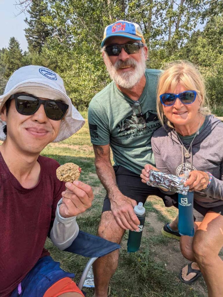
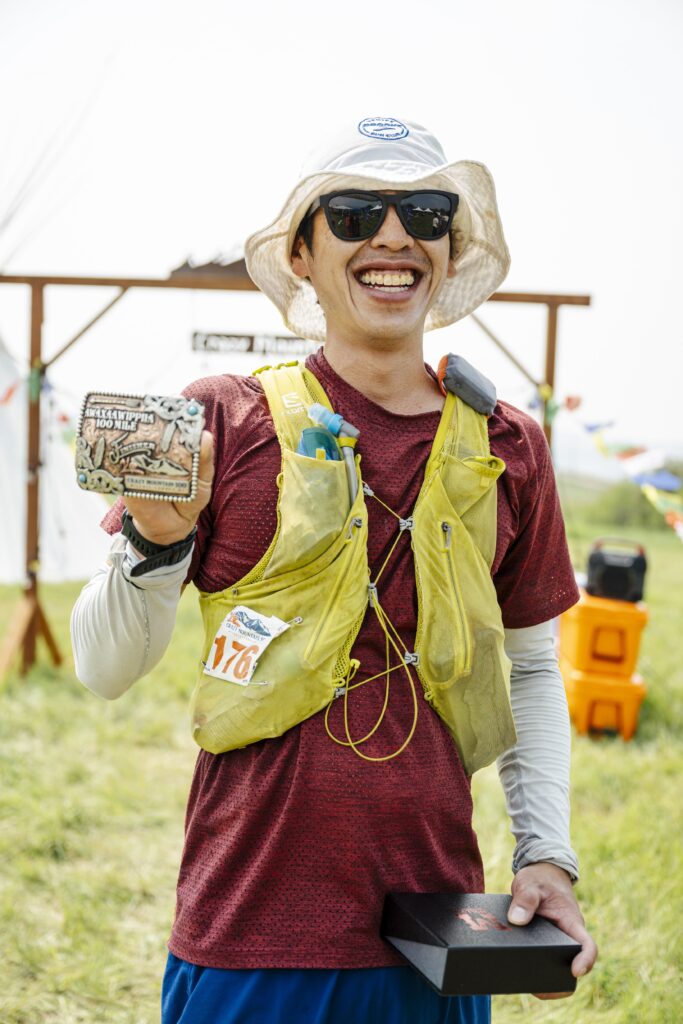
After a lazy morning in Bozeman, with a visit to the dinosaurs at the Museum of the Rockies, I made the 1.5 hr drive out to the Berg Ranch, near the ghost town of Lennep. Pre-race briefing was at 6pm, where Megan reminded us all to bring a rain jacket so it wouldn’t storm on Conical Pass, that it was unlikely to be eaten by a grizzly unless you’re the race leaders, and don’t be late for the 4:15 am bus shuttles to the start area. I had a simple dinner of leftover pasta from lunch at the Olive Garden. If you fill up on the unlimited breadsticks and soup, you’ll get to save most of your lunch for dinner. I got to hang out with volunteers extraordinaire Lori and Randy, who promised freshly baked cookies if I made it to the Mile 93 aid station at Hunting camp. If I was too slow, the volunteers would eat them all. No better motivation than that, and the shiny buckle.
Pre-race smiles
Crazy Mountain 100 Race
The race course itself navigates through the Indigenous lands of the Apsaalooke, private, and public land/forest service. To the Apsaalooke people this range is called Awaxaawippíia. “Awaxaawi” Meaning Mountain. ppíia” meaning ominous or angry. Some say you can hear the mountains and the power is felt. We feel this is an important history and knowledge. Our hope is that you take the time to learn about its’ rich history.
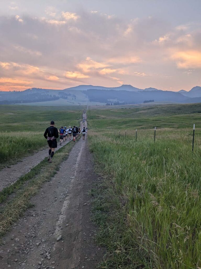
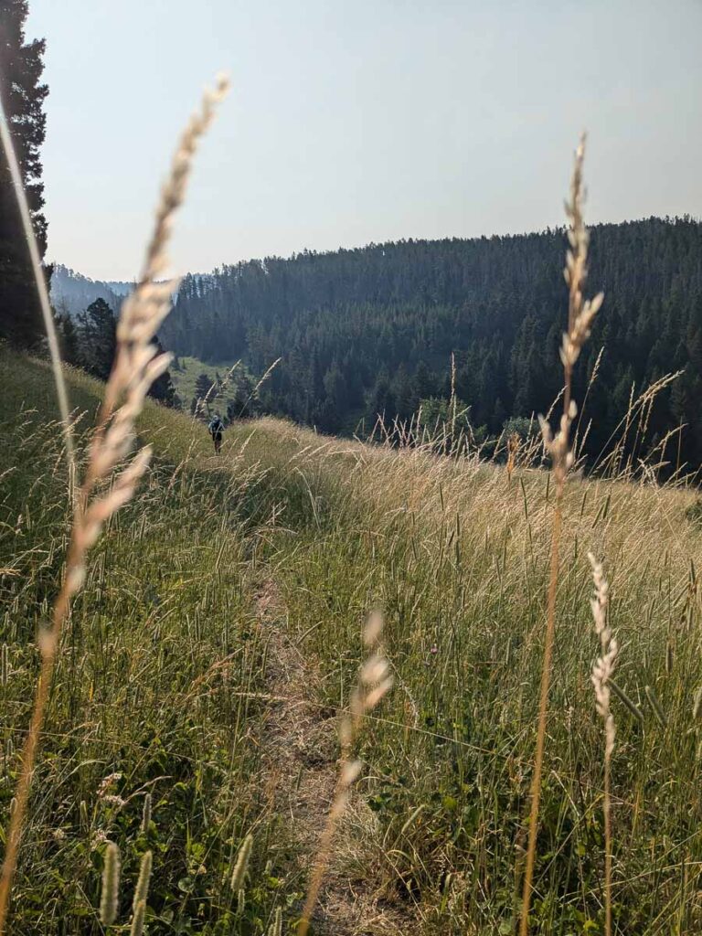
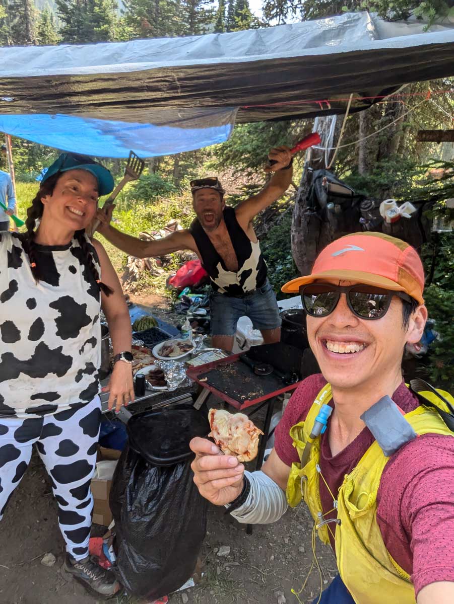
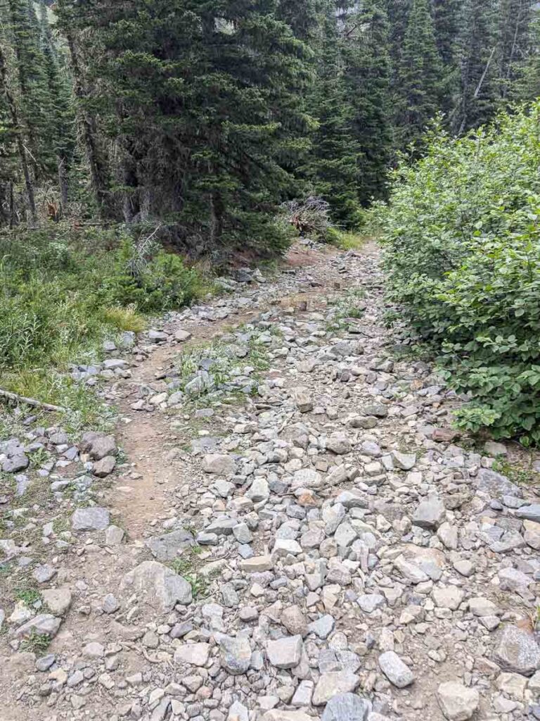
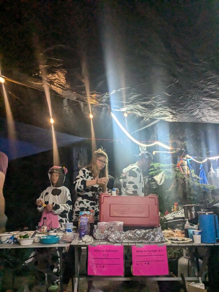
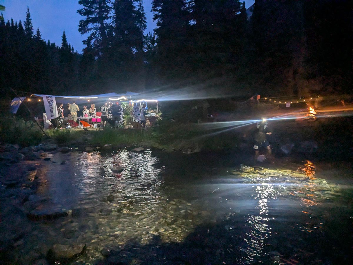
I set my alarm for 3:30am, which was just enough time for a coffee and croissant, and hurried to catch the last bus (try to catch the earlier bus next time). It was over an hour shuttle to the start. There was just enough time to get my bib and gps tracker, toilet and then it was the start. A very simple “Go” and two hundred Crazies were off running into Awaxaawippiia. The first 4 kms are on a road, and then it’s a flowy singletrack past the first minor aid station at Porcupine and a major aid station at Ibex (31.2km). I met Jeff from Ontario along the way, and we leap-frogged each other for the next hundred kilometres, with some big-stoke energy along the way, sharing the joy and suffering along the way. From Ibex, the climbing starts up to the first pass at 2900m above Campfire Lake. I was still feeling good here, running somewhere in front mid-pack down to the legend-airy Cow Camp aid station. This was an utterly amazingly remote aid station where all the supplies were horse-packed in. Food highlights were the pizza, and nori rice balls with soy sauce. The goats at IMTUF last fall were special, but horses seem more practical.
We are an intentionally inclusive event that welcomes any and all people willing to take on the challenge. Our goal is to bring you to this wild, sacred, and unique place, and have you leave forever changed. You simply cannot experience the jagged cliffs, scree fields, and high alpine lakes, without experiencing something deep within your soul. This is sure to be the craziest race you have ever attempted.
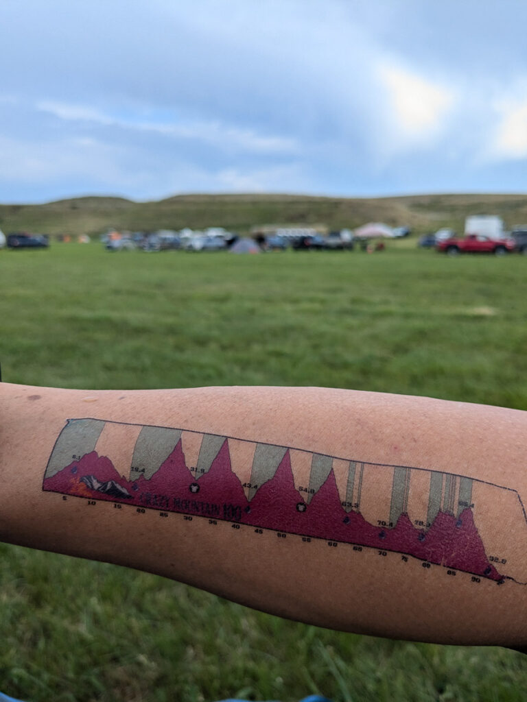
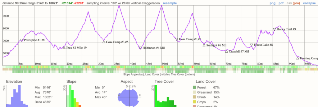
Course profile. The big climbs are in the middle, but the last climbs are no joke either
Running at the startTypical terrainDescending towards Campfire LakePizza at Cow Camp
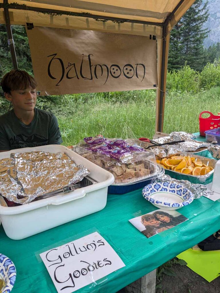
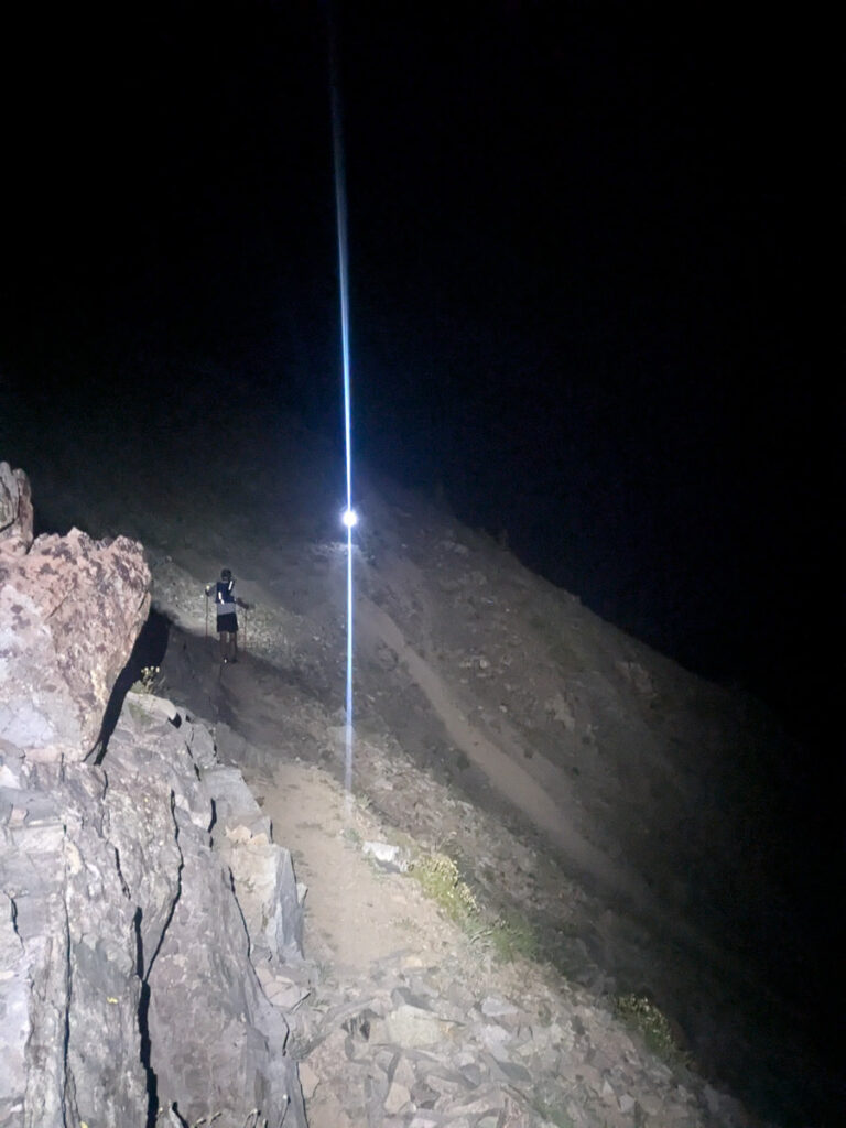
The heat and the attitude got to me shortly after low down on the climb up to Conical Pass, the queen climb with the most spectacular scenery of the course, that we got to run twice. I slowed down on the climb up to Glacier Lake, felt better for a bit, and keep moving steadily up to the 3050 m pass where Howie Stern was taking photos. The climb to the pass is never steep, with many switchbacks. My legs felt great for the downhills, and it was a fun descent down the east side toward the Twin Lakes, where I saw the race leaders heading back up. I wasn’t prepared for the janky road/trail down to the Halfmoon aid station (69.8km), which was a mix of nice running followed by ankle-rolling rocks. Somehow my ankles survived. It looked as if it would rain, so I added my long-sleeve shirt to my pack and more gels. The aid stations are well stocked, but they don’t have gels so plan these in your drop bags in advance. I think I had some bone broth and quesadilla here, but in hindsight, I should have eaten more here, given the lower elevation.
I like to think I felt like this on all the climbsThe runnable road into HalfmoonHalfmoon aid stationFueling with bone broth at Halfrmoon
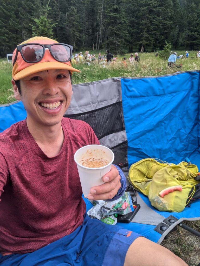
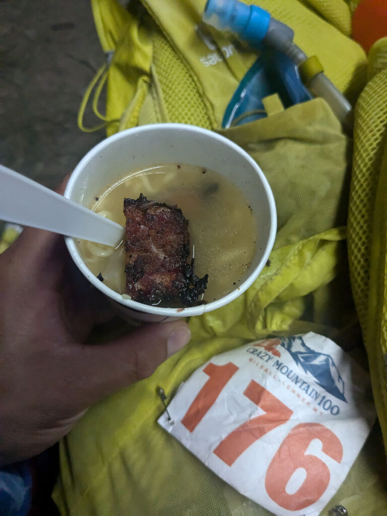
I hopped on the struggle bus leaving Halfmoon, and realized I needed to figure out how to keep eating and avoid a total bonk. I would end up sitting down, having some candy or gel, before moving forward. I was climbing very slowly by the time I neared Conical Pass again, just one slow step after another. A little soul-crushing knowing this was only the 3rd climb of the race, and it was a long night ahead. 100 milers are suppose to be hard, and things are unpredictable, and the only thing you can do is to accept what the race gives you, and keep moving on towards the next aid station. My legs felt really good running downhill back to Cow Camp, deja-moo, where we caught a spectacular sunset running down to Glacier Lake, and headlamps came on only at the aid station (88.2km). It took me 3:27 from Cow Camp to Halfmoon, compared to 4:14 from Halfmoon back to Cow Camp. Cow Camp was now a full-on party, and I gave myself ten minutes here to reset before mooving on. I had some delicious ramen and broth here, with burnt end bits (cows serving cow). For hydration, I used a 1.5L bladder with Skratch for the first half of the race, and then switched to 500mL soft flask (water + ginger ale) and water filter for all the creeks along the way. There are so many creek crossings on this course, with a mandatory shin deep crossing after Cow Camp. The next climb up to Sunlight Pass was the most technical one, and unless you’re a race leader, you’ll do this in the dark. My uphill legs were still absent, and it was another slow grind to the top, where some volunteers/campers cheered us on for the final climb up to 2870m. The trail crosses a sketchy gully, no running allowed. You sidehill for a few steps on a firm bed surface, too hard to step into, exposure below, and hope you don’t slip up here. The rest of the descent was down a rocky trail, including one of the steepest/rockiest descents of the course leaving the ridgeline. I was happy to make it to the Sunlight aid station at 1 am (101.8km).
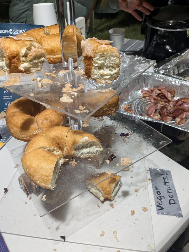
Twin LakesA sitting break Looking east down into HalfmoonAlmost at the top of ConicalSmokey sunset from Conical PassTop of Conical Pass for the second timeBurnt ends ramen soupCow Camp vibesThe water crossing at Cow CampThe sketchy part of Sunlight passVegan donuts at Sunlight
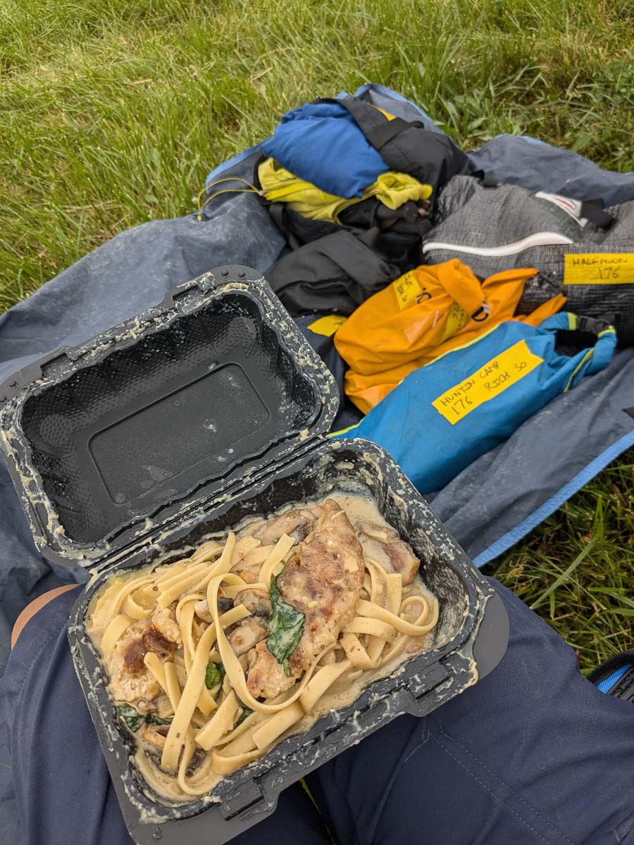
Sunlight to Crandall (113.3km) to Forest Lake (126km) was mostly a blur in the dark. Lots of grasslands, a good trail and then no trail, lights in the dark which were either reflective markers or cow eyes, dodging cow pies and moving forward as efficiently as possible. This is also mountain lion country. I remember thinking pre-race that these aid stations were all fairly close together, and was glad for that, as I could barely eat while running and fuelled mostly on ramen at the aid stations. At one point, the course leaves the ranch road, and you connect the dots of reflective markers across a grassy field. On the other side was a trail that crossed the creek too many times (my least favourite part of the course), and somehow I kept my feet dry through it all into the Forest Lake aid station (126km). I sat here for another ten minutes, enjoying coffee and pancakes.
I wished I spent more time reading the race description and looking at the elevation profile and the subtle climbs, because the next leg from Forest Lake to Honey Trail (137.4 km) was a series of never-ending climbs, reminiscent of skyline ridge at Fat Dog 120, only less rocky, more rolling climbs, and more grassy ridges. I still couldn’t power-hike uphill, and each bump seemed so far away. But there were cookies waiting for me, so the slow uphill plodding continued, wondering if this was the last hill before Honey Trail aid station at 9:20am, 3hr 14min from Forest Lake to cover 12km. I sat here for another ten minutes, and I felt like I need to get some food in before the final 33km of mostly downhill and flat running. Somehow I was able to eat some watermelon, the crispiest pierogies on course (secret is bacon fat), a little turkey wrap and more ginger ale.
Can you spot the flagging?Fueling the dream Cookie power thanks to Lori and Randy
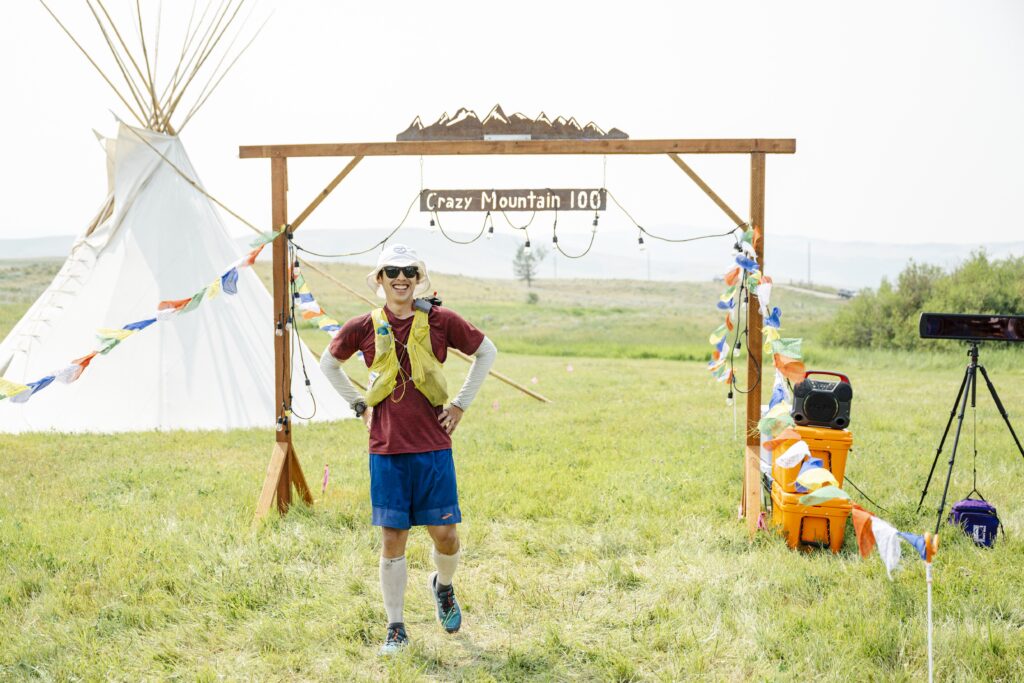
The resurrection finally happened, and I felt the first pep in my step on the final two or three rolling hills out of Honey trail. I was expecting a nice single track, but most of the descent to Hunting Camp is down an ATV road, some parts nice and easy to run on, and some steeper rocky parts. This leg was significantly faster, 2hrs to run 12km down. I cooled off in the creeks just before Hunting Camp (11:20am), fully soaking my shirt and arm sleeves and hat. Randy and Lori helped me out at Hunting Camp, packing me with cookies, and ice for the final road stretch to the finish line. I decided to run the final stretch of road as fast as possible, covering the 10.5km in 1hr 13, since I could finally run again. The final stretch along the highway before turning left into the Berg ranch was tedious, I stayed off the pavement and walk/jogged through the lumpy cow trail on the side. I finished 50th/191 runners, in 30:42:59, my fastest 100 miler so far. While it didn’t feel great for a lot of it, I was still very happy with how everything went, my ability to keep fuelling and shuffling through the difficulties, focusing on the positives, and finishing strong.
Similar to the rest of the race, the finish line celebrations had it all. Lots of cold drinks, iced coffee, endless tacos, and plenty of people stuck around to cheer on the final finishers. I tried to take a nap post-race, but my tent was too hot. I stayed up until 8pm, and passed out. The final crux was the 1.5 day drive home, wrapping up a 4400km road trip. I’d definitely recommend this race if you like rugged mountains, a challenging course running with other Crazies, the best volunteers and aid stations, and just a very well organized event. Signup opens in December 15th, and I might have to go back for a 2nd shiny buckle.